
Rare blizzard warning for WA Cascades and Olympics ahead of major winter storm
Mar 11, 2026, 6:38 AM | Updated: 3:04 pm

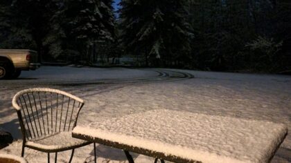
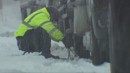
Winter weather hits Washington mountain passes. (Photo courtesy of KIRO 7)
(Photo courtesy of KIRO 7)
A rare blizzard warning is in place for the Washington Cascades and Olympics for Wednesday night.
What does a blizzard warning mean? It means far more than just a lot of snow. The warning means heavy snowfall, wind speeds of at least 35 mph, and, as a result, poor visibility below a quarter mile.
For the mountains, between two and four feet of snow are expected through Thursday morning, with the heaviest amounts on Wednesday night. Westerly wind speeds of up to 55 mph are expected, producing blowing and drifting snow along with terrible visibility.
Snow levels on Wednesday are expected to rise to near 4,000 feet, then plunge back down to around 2,000 feet on Thursday morning.
If planning to travel over the Cascades Wednesday night, consider postponing your trip until at least Thursday, if not later, to avoid the worst of this storm. Road crews will do their best to keep up with the significant snow and windy conditions.
In addition, this heavy snowfall will push the avalanche danger much higher. If traveling, be prepared for avalanche control delays. In addition, this is not the time to be taking trips into the backcountry.
RELATED STORIES
The cause
What is driving this nasty weather is a developing strong weather system that is expected to intensify as it approaches the coast Wednesday. The westerly Jetstream around 30,000 feet in the atmosphere of well over 100 mph is giving this weather system a much greater punch, propelling the strong mountain region winds and heavy snowfall.
In western WA
This developing weather system will also produce considerable rainfall in Western Washington, along with strong winds. Winds along the coast and north interior from about Whidbey Island will bear the brunt of this storm with gusts up to 55 mph on Wednesday night. The rest of the region is expected to have gusts of 30 to 45 mph. Downed trees and power outages are possible.
Rainfall amounts in Western Washington are expected to range from close to an inch to over two inches, particularly along the coast and in southwest Washington.
This strong weather system is expected to move farther inland on Thursday, with showers in its wake. Mountain snow levels are expected to fall to the 1,000 to 2,000 foot range Thursday and into the weekend.
If traveling over the Cascade highways, be prepared for winter weather driving conditions. By law, you must have chains in your vehicle and be ready to use them if required. In case of travel pauses, be sure to carry extra food supplies and water, and have traction material like kitty litter, a snow shovel, and flashlights with extra batteries in case they are needed.
This late winter storm is likely to be the strongest of the season. The silver lining? The mountains are way behind average on snowfall, and this storm is going to at least put a dent in that snow deficit.
Ted Buehner is the KIRO Newsradio meteorologist. Follow him on X and Bluesky. Read more of his stories here.












