Warmer-than-average summer ahead for western WA as forecast sounds like a broken record
Jul 17, 2026, 5:00 AM | Updated: 5:07 pm
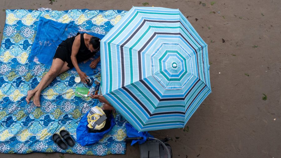
People visit the beach in the summer. (Photo: Spencer Platt, Getty Images)
(Photo: Spencer Platt, Getty Images)
The National Weather Service’s Climate Prediction Center (CPC) just released the latest seasonal weather outlook, and the outlook for the summer may sound like a broken record.
The outlook into September again reflects warmer and drier-than-average conditions for western Washington, a trend that has been the case for much of this century thus far.
Wildfires likely to spark in western WA
Conditions across the state, including western Washington, are drier than usual and, combined with another warmer and drier-than-average summer, point to a heightened threat of wildfires.
Eastern Washington has already experienced several dozen wildfires. A few have also broken out in the Cascades and Olympics. The season’s first roadside fire was earlier this week along SR 525 in Snohomish County.
Western Washington will likely begin to have some wildfire starts, including more roadside fires heading into August as conditions continue to dry out further.
Fire statistics show that about four out of five wildfires are started by humans. Lightning from thunderstorms initiates nearly all the rest of the fire starts and usually in more remote areas.
According to the National Interagency Fire Center in Boise, Idaho, by August, all of Washington will have an above-average threat of wildfires.
Steps to prevent wildfires
Outdoor burn bans are already in place for most western Washington interior counties from Whatcom south to Clark County. For outdoor burning details in your area, visit your county’s fire district website.
There are a number of steps to help avoid starting any wildfires. Around your home or business, build ‘defensible space’. Visit Firewise USA’s website for a complete list of easy-to-do tasks to avoid having your place burn, particularly from wind-blown fires that spread quickly through both rural and urban areas.
If driving, be sure to keep all burning materials like cigarettes inside your vehicle. Tossing them outside can start roadside fires. Also tighten tow chains to avoid sparks on the pavement that can also initiate roadside fires.
When camping, ensure the campfire is cold before leaving the campsite.
Wildfire smoke
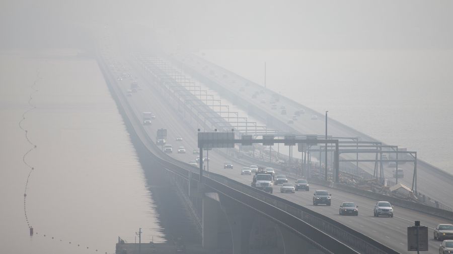
Wildfires also produce smoke and poor air quality. In western Washington, the region has suffered wildfire smoke seven out of the last nine summers, dating back to 2017 when smoke from British Columbia wildfires spread into the area.
You can always monitor the latest air quality readings from the Washington State Deptartment of Ecology’s air quality map.
And remember those N95 masks from the recent pandemic? Use them during periods of wildfire smoke to keep minute wildfire particles from reaching your lungs. Once there, those particles remain in place.
El Niño update
By now, you are aware of the developing El Niño in the eastern Pacific tropical waters. Some are describing it as “strong” or “super” El Niño.
The National Weather Service (NWS) is describing this developing El Niño as likely one of the strongest in their historical record going back to 1950.
Sea surface temperatures in the eastern Pacific tropical waters continue to show a sharp rise. Forecast guidance for sea surface temperatures maintains continued warming into this fall and winter.
As a result, the NWS just issued an El Niño Advisory. The advisory highlights that El Niño will strengthen through the end of this year, with a 97% chance it will persist through early spring 2027.
El Niño primarily impacts Northern Hemisphere weather patterns during the winter season. The NWS put together a short video that helps explain El Niño.
An El Niño Advisory has been issued and you may have recently heard the term “Super El Niño”. One of our meteorologists explains the terms NOAA uses to describe ENSO intensity and some basics of what El Niño is and is not.
See the advisory: www.cpc.ncep.noaa.gov/products/ana…
— National Weather Service (@nws.noaa.gov) June 11, 2026 at 6:19 AM
What does this El Niño mean?
In the Pacific Northwest, El Niño winter season conditions usually mean warmer-than-average conditions and often, but not always, drier-than-average precipitation.
The latest seasonal weather outlook for this winter season reflects good odds of warmer-than-average temperatures and tips the chances for drier-than-average precipitation.
In the wake of four straight below-average mountain snowpack winter seasons, another dismal snowpack this coming winter is not good news.
In addition, this El Niño would quite likely extend current dry conditions into 2027, with more limited water supplies heading into next summer that the CPC indicates will be another warmer and drier-than-average season.
RELATED STORIES
What’s next
The rainfall from the recent spate of rain showers and isolated thunderstorms did not have much impact on the current dry conditions.
Building higher pressure aloft over the Pacific Northwest moving into next week should offer more sunshine and warmer-than-seasonal-average temperatures, with highs climbing into at least the 80s in many locations.
If longer-range forecast charts are on track, there may not be any more rainfall through the rest of this month, exacerbating the ongoing dry environment.
Weather forecasters, fire agencies, water supply managers, and others are all keeping an eye on the weather until the fall rains arrive.
Enjoy the summer — just do so safely and take precautions from any ‘hot’ weather and the possibility of wildfires and smoke.
Ted Buehner is the KIRO Newsradio meteorologist. Follow him on X and Bluesky. Read more of his stories here.