Strengthening El Niño points to warmer winter, weaker snowpack for Washington
Nov 20, 2026, 5:59 PM | Updated: 6:00 pm
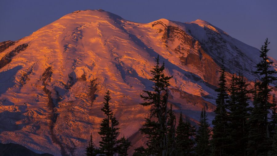
A mountain during the setting sun. (Photo: Galyna_Andrushko via Envato)
(Photo: Galyna_Andrushko via Envato)
El Niño continues to strengthen, according to the National Weather Service’s Climate Prediction Center (CPC).
El Niño is when sea surface temperatures in the eastern Pacific Ocean’s equatorial waters are warmer than average. The latest information shows those sea surface temperatures ranging from 2.5 to more than 4 degrees Celsius (4 to more than 7 degs Fahrenheit) from the coast of Peru west to around the dateline.
This El Niño event looks to peak around the end of the year, and is set to become one of the strongest on record going back to 1950.
With such warm sea surface temperatures in the eastern Pacific tropical waters, the storm track across the North Pacific Ocean tends to adjust, spending more time moving weather systems into California and across the southern tier of the nation during the winter season than through the Pacific Northwest.
The southwestern U.S. sure could use the moisture in the form of rain and mountain snow given their years of dry conditions. Yet, heavy amounts of rainfall can create flooding and landslides in that region, particularly in areas that have had recent wildfires.
Latest seasonal weather outlook
For the Pacific Northwest and western Washington, the latest seasonal weather outlook just released by the CPC continues to show solid odds of up to a 70% chance of warmer-than-average winter season temperatures during the period of December through February.
For precipitation, the latest outlook reflects no real trend on above, near, or below average rainfall. This seasonal weather outlook is typical during an El Niño winter season.
Impacts – the good and the bad
There are many good and, unfortunately, significant impacts if the winter seasonal weather outlook is accurate.
On the upside, overall average warmer-than-average temperatures translate into lower heating costs. With no significant trend in winter rainfall, there should be roughly enough rain during the season.
In addition, historically, the chances for significant flooding, wind storms, or lowland snow and ice are lower — not zero, yet a reduced likelihood.
On the downside, with warmer-than-average temperatures, overall mountain snow levels will be higher than needed, resulting in a lower-than-normal snowpack by next spring.
The result should be more rainfall in the mountains versus snow piling up for use next summer and fall. That rainfall will run off into the region’s rivers as opposed to snow that would gradually melt off later next year.
A less-than-average mountain snowpack next spring would make it four years in a row that has happened. Water resources have been short during these years, resulting in limitations in agricultural irrigation in much of eastern Washington.
In addition, the impacts next summer and fall include a lower-than-adequate supply of water to generate enough electric power during the warm season, enough river water for fish and recreation, as well as for domestic water needs.
Latest two-week outlook
The first half of November across western Washington was unseasonably warm. Seattle-Tacoma International Airport (SEA) had its warmest day on Veterans Day with a high of 67 degrees.
Bellingham reached 69 on the 11th as well.
As of Nov. 19, SEA was nearly 2.5 degrees above average for the month. Bellingham was 4.2 degrees above normal.
The latest CPC two-week outlook that extends into early December continues to show good odds of warmer-than-average temperatures. For rainfall, the chances reflect above-average as well. At this point, SEA is about one and a third inches below average for rainfall this month, and October was much drier than average as well.
RELATED STORIES


Heading into Thanksgiving weekend
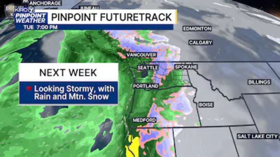
Rain is set to return to western Washington over the weekend and continue at times through next week, including Thanksgiving.
For those traveling over the Cascades, snow levels on Sunday and Monday are forecast to be around 2,500 feet with only a few inches of snow anticipated each day.
By mid-week, snow levels are expected to rise to around 4,500 feet, and on Friday, up to 6,000 feet.
During this time of year by state law, always at least carry snow chains when driving over the mountain passes, and be ready to use them if conditions warrant.
Ted Buehner is the KIRO Newsradio meteorologist. Follow him on X and Bluesky. Read more of his stories here.