‘Extremely critical’ fire weather concerns this weekend in central, eastern Washington
Jul 31, 2026, 6:02 AM
(Photo courtesy of KIRO 7)
(Photo courtesy of KIRO 7)
Several large fires are burning in central and eastern Washington as we head into the weekend, with most of them ignited by lightning around the middle of July.
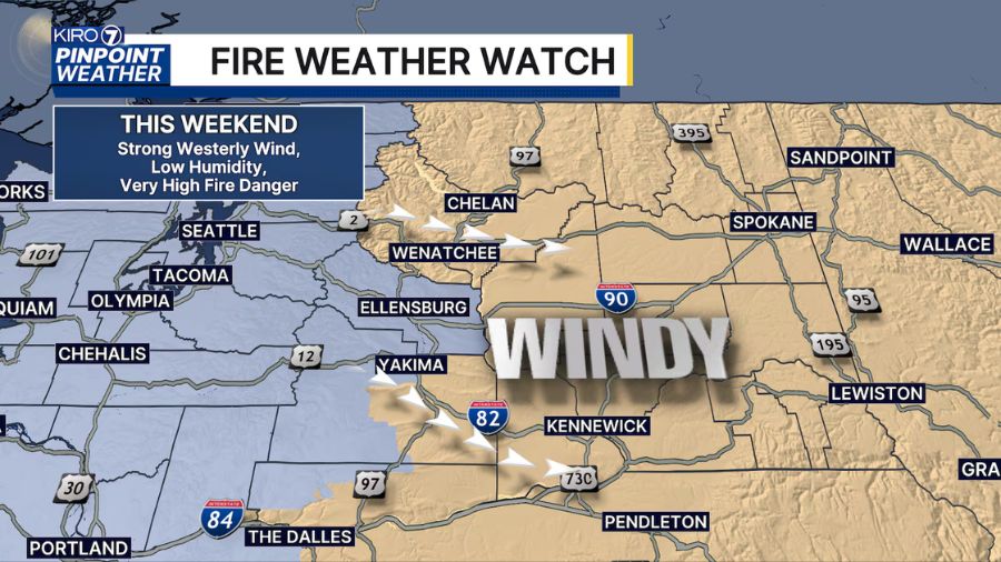
As August begins this weekend, a very serious fire weather threat will develop east of the Cascade crest due to strong westerly winds and low humidity.
Forecasters at the Storm Prediction Center have highlighted parts of eastern Washington with an “Extremely Critical” fire weather designation beginning Saturday. Significant fire growth is likely, and any new fires that develop could spread rapidly.
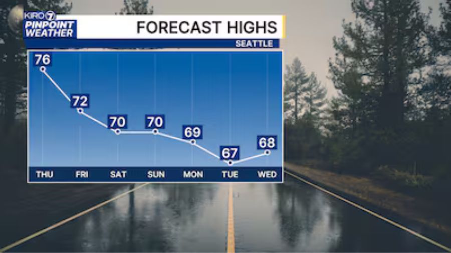
The culprit will be stronger onshore, or westerly, wind flow off the Pacific Ocean associated with a cold front. This front will bring more clouds, cooler temperatures, and a chance of rain showers to Western Washington on Saturday into early Sunday.
These winds will not be able to bring much moisture or clouds east of the crest of the Cascades, but instead the air flow will warm and dry as winds descend on the eastern slopes. The wind will also speed up, with gusts more than 40 mph possible.
The combination of low humidity, strong wind, and ongoing fires — along with tinder-dry vegetation — will bring a significant risk that fire managers will be taking seriously.
If you live in central or eastern Washington, or are traveling east of the Cascades to start August this weekend, make sure to have a way to get emergency weather information like a cell phone with Wireless “Emergency Alerts” turned on.
Also, every family should have one or more “go bags” with important items, medications, and documents that can be grabbed and carried away on a moment’s notice, should a “go now” evacuation order be issued.
Learn more about having a “go bag” from KIRO 7 Pinpoint Meteorologist Robert Van Winkle here.