A look at your Labor Day forecast
Sep 7, 2026, 6:29 AM

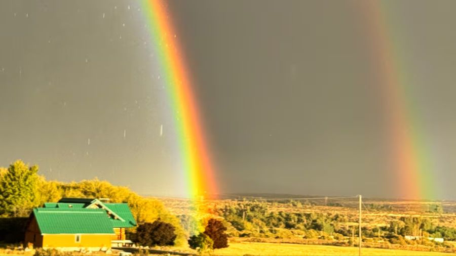
A rain cloud. (Photo courtesy of KIRO 7)
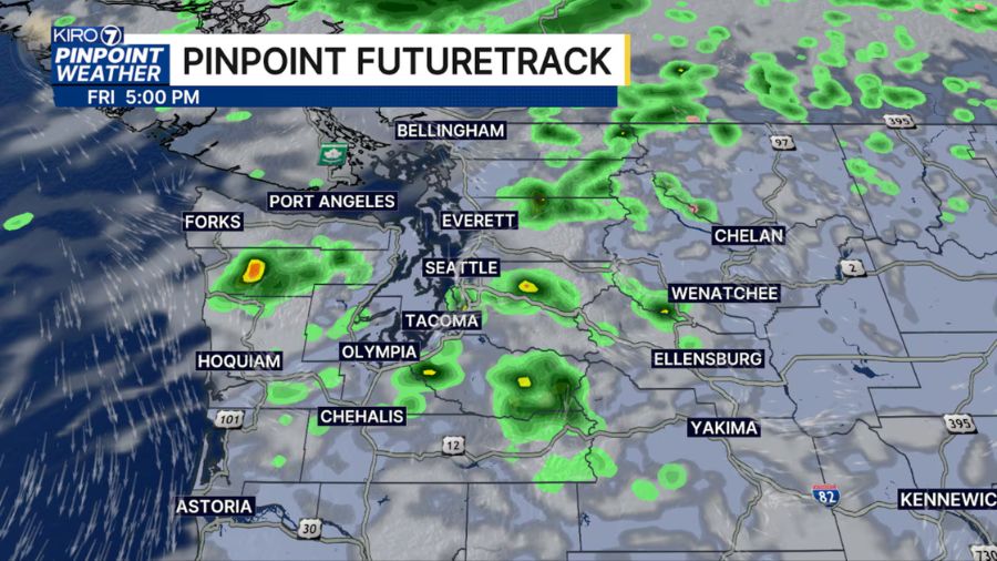
(Photo courtesy of KIRO 7)
Labor Day Monday starts with a few showers and cloudy skies around Puget Sound.
Onshore flow overnight will spread a blanket of low clouds and patchy fog across the coast and into the interior valleys this morning, but there will be some breaks in the clouds by the afternoon.
The rain showers on radar this morning are mostly confined to the islands and areas north of Seattle.
A few areas of showers or light rain could move over the Seattle area this morning, but any rain to start the day today should be light and move through by the afternoon.
Temperatures today will respond to the cloud cover and the sunbreaks this afternoon. 60s will likely be the rule for northern counties, and low 70s will pop up in the southern counties. In general, another pleasant afternoon is on the way.
The rest of the week
Strong upper-level ridging over the Southwest will nudge northward, while low-level flow turns weakly offshore by Wednesday. That pattern will push afternoon highs into the upper 70s to lower 80s for many interior spots on Wednesday, but it looks like that warm pattern will only last for a day.
Temperatures should fall back to low 70s on Thursday with some upper 60s for highs by the weekend.
Into the weekend
Looking ahead to next weekend, there are changes on the horizon. The long-range models are hinting at a weak trough arriving around Friday night, which should knock temperatures back down and bring a renewed chance for lowland rain and mountain showers heading into early next weekend.