Heavy rain, strong winds will hit Western Washington on Christmas
Dec 24, 2024, 10:43 AM | Updated: Dec 25, 2024, 8:36 am

The calm before the storm in Edmonds. (Photo: Bill Kaczaraba, MyNorthwest)
(Photo: Bill Kaczaraba, MyNorthwest)
Wind and rain will hit Western Washington over the Christmas holiday.
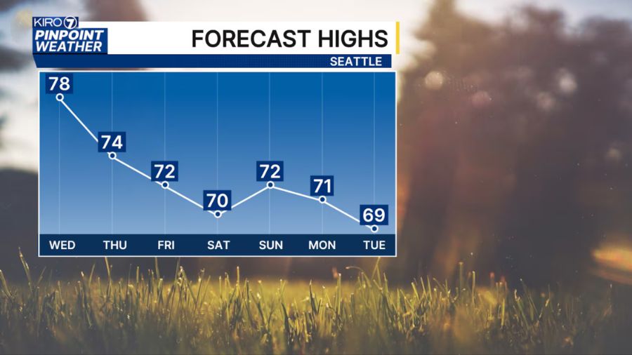
“Rain will pick up throughout the day,” Ted Buehner, KIRO Newsradio meteorologist said. “Temperatures this week will be relatively mild for this time of year. Highs will range from the upper 40s to the mid-50s, with lows in the upper 30s to mid-40s – about 5 to 10 degrees above average.”
Winds will drop off after 2 a.m. on Christmas.
“This will bring plenty of rain into the coast, the lowlands, and increasing snow in the Cascade passes. A Winter Storm Watch has been issued for the Olympics and Cascades starting Wednesday afternoon,” KIRO 7 chief meteorologist Morgan Palmer wrote on the station’s website.
MyNorthwest Weather: Will your weather forecasts soon be done without humans?
The impact of the storm will vary greatly by location.
“A potent low-pressure system (that qualifies for bombogenesis or ‘bomb cyclone’) is about 400 miles off our coast, heading north toward Haida Gwaii (also known as the Queen Charlotte Islands in British Columbia),” Palmer said. “Given the distance from this storm, it has just brought some advisory-level wind gusts (45-50mph) to a few isolated spots like North Bend this evening. Given the label ‘bomb cyclone’, bombogenesis only pertains to the rate of intensification of a low-pressure center (24 millibar pressure drop in 24 hours), and does not have anything to do with storm impacts.”
If heading into or through the Cascades, the week’s snow level will rise and fall with each passing weather system, ranging from nearly 3,000 to 4,500 feet.
“The best fresh snowfall should be found at the higher-elevation ski areas throughout the week,” Buehner said.
‘Trees were falling like toothpicks’: Washington residents recoup after storm
Driving conditions could vary greatly for the holiday. Travelers should check just before heading for the passes.
“In the mountains, a mixed bag of sleet, freezing rain, rain, and snow is expected overnight,” Palmer said. “As for the mountain snow, expect 18-24 inches of new snow above 3,500 feet elevation from Wednesday afternoon through Thursday. This includes Stevens Pass, White Pass, Mount Baker, Paradise, and Hurricane Ridge. At Snoqualmie Pass, expect lesser amounts of snow on I-90, but we could still see 6-12 inch accumulation with periods of freezing rain. Regardless, this is a significant impact to cross-mountain travel for late Christmas Day and Thursday.”
Bill Kaczaraba is a content editor at MyNorthwest. You can read his stories here. Follow Bill on X, formerly known as Twitter, here and email him here.