November historically the wettest month of the year in WA, kicks off ‘The Big Dark’
Nov 3, 2025, 6:53 AM | Updated: 2:52 pm

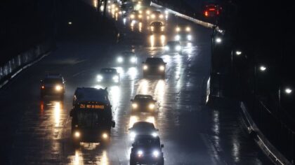
A Tesla motorist drives through the rain as a powerful atmospheric river storm impacts the region. (Photo: Mario Tama, Getty Images)
(Photo: Mario Tama, Getty Images)
Welcome to November, historically the wettest month of the year. Combined with the change to standard time over the weekend, some also refer to this month as the beginning of “The Big Dark” as sunsets now fall well before 5 p.m.
The start of this week’s weather will offer a respite from the recent rain and wind. The sun should have the chance to peek through the clouds both Monday and Tuesday.
But then, conditions will feel like “The Big Dark” as a series of Pacific weather systems resume their parade into Western Washington, bringing periods of rain. High temperatures this week are forecast to be relatively mild, in the 50s, while lows are anticipated to drop only into the 40s.
By this weekend, forecast charts are pointing to another wet and windy weather system, primarily on Sunday. Monitor this situation as the week draws closer to the weekend.
RELATED STORIES


Mountain conditions
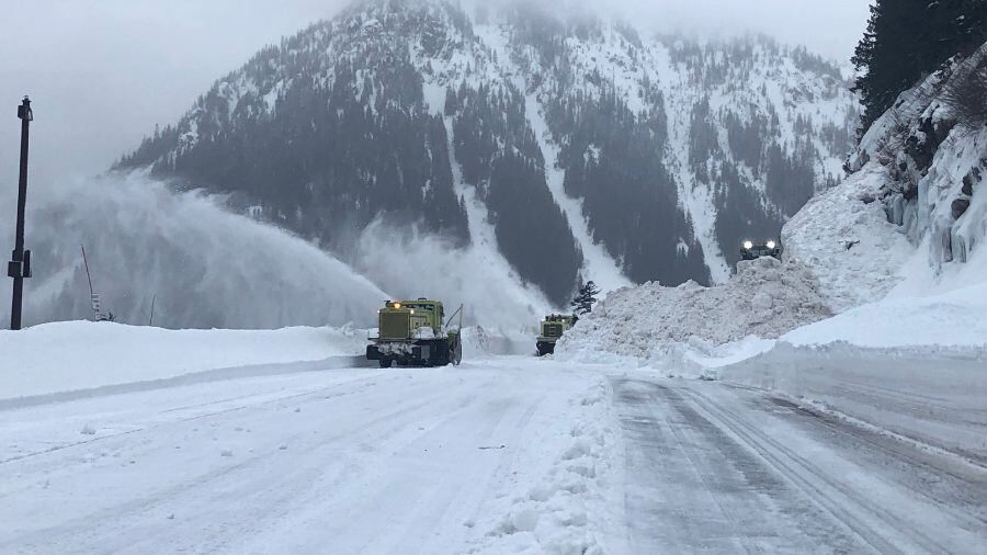
For those with plans to travel across the Cascades, snow levels this week are expected to remain rather high, primarily above highway pass levels. Driving conditions should involve wet pavement.
November is usually the wettest month
November is historically the wettest month of the year, and the region could use the rain. Much of Western Washington remains in moderate-to-severe drought, according to the U.S. Drought Monitor.
Through October, Seattle-Tacoma International Airport (SEA) is more than seven inches of rain below average. Olympia is about 12 inches below average, while Bellingham has a 3.5-inch rain deficit. Along the coast, Forks remains well behind, at more than 24 inches below average, while Hoquiam is more than eight inches of rain behind.
November is historically No. 1 for flooding
November also happens to be the No. 1 month for river flooding, primarily because there is usually little mountain snowpack to soak up those warmer rainy days when snow levels rise. Recent rains have helped raise river levels from well below normal stream flows.
With more rain in sight as the month proceeds, the threat of river flooding should rise. Those in low-lying areas along rivers and streams should prepare for the possibility of flooding. Remain vigilant by monitoring weather and river forecasts. Remember – when you are weather-aware, you are weather-prepared.
Looking at the weather outlook for the month, temperatures are expected to be primarily warmer than average, with precipitation odds above normal. Welcome to November, with its wetter weather and “The Big Dark.”
Ted Buehner is the KIRO Newsradio meteorologist. Follow him on X and Bluesky. Read more of his stories here.