
More than 11,000 lose power as atmospheric river floods Western WA
Dec 9, 2025, 6:06 AM | Updated: 6:53 pm
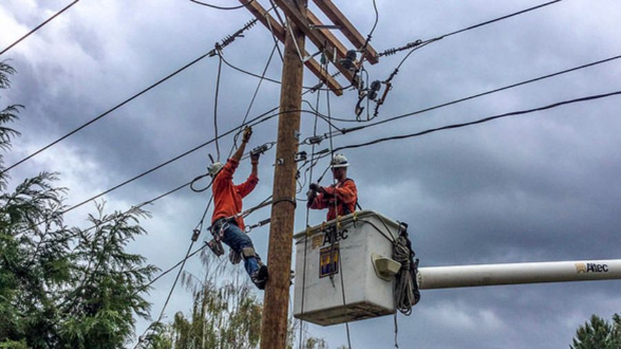
Puget Sound Energy crews work on a powerline. (Photo courtesy of Puget Sound Energy)
(Photo courtesy of Puget Sound Energy)

More than 11,000 customers in western Washington lost power late Monday as heavy rains and winds flooded the region.
By 10 p.m. Monday, nearly 7,000 Puget Sound Energy customers were left without power. The number grew to 10,600 customers by 11 p.m.
By 7 p.m. Tuesday, only 247 customers were still without power across 15 different power outages, according to Puget Sound Energy. King, Kittitas, Snohomish, and Clallam Counties were home to the most outages.
For Seattle City Light, just 7 customers were without power by 7 p.m. Tuesday.
17 Western WA rivers are flooded, King County Executive issues emergency proclamation
As of this reporting, 23 western Washington rivers are currently flooding.
In western Washington, flood watch remains in effect for 11 counties, including King, Pierce, Snohomish, Skagit, Whatcom, Thurston, Kitsap, Mason, Jefferson, Clallam, and Lewis.
Snoqualmie River reaches Flood Phase 4
The Snoqualmie River reached Flood Phase 4 by 5 a.m. Tuesday, King County reported.
Phase 4 means residential areas could experience “dangerously high velocities and flooding of homes,” officials wrote. Additional roads that could overtop are Moon Valley Road S.E., S.E. David Powell Road, most of Neal Road S.E., SR 202 upstream of Fall City, W. River Road, S.E. 19th Way, portions of Fall City-Carnation Road S.E. (SR 203), N.E. 16th Street, N.E. 100th Street, N.E. 124th Street, N.E. 138th Street, N.E. Woodinville-Duvall Road, and 288th Ave N.E.
Phase 2 indicates minor flooding, officials stated on King County’s website. Several roads could overtop, including S.E. Reinig Road, Meadowbrook Road, Mill Pond Road, Neal Road S.E., S.E. 24th Street, West Snoqualmie River Road N.E., north of N.E. 18th Street, and N.E. Tolt Hill Road.
If Phase 3 is reached, flooding of varied depths could occur across the entire Snoqualmie Valley. More roads could overtop in this phase, such as West Snoqualmie River Road S.E. south of S.E. 19th Street, NE 8th Street, and NE 138th Street.
Skykomish River at Flood Phase 4
The South Fork Skykomish River also reached Flood Phase 4, with possible riverbank erosion and flood debris.
“Flood waters will inundate portions of downtown Sultan,” officials stated. “Flooding will occur all along the river, including headwaters, tributaries, and other streams within and near the Skykomish River Basin.”
Green River at Phase 2
Meanwhile, the Green River is at Phase 2, indicating minor flooding. King County staff are on alert and are preparing for a possible flood event.
Several Western WA rivers are flooding
The Carbon River, the Cowlitz River, the Grays River, the Naselle River, the Nisqually River, the Puyallup River in Orting, the Skagit River, the Snohomish River, and the Tolt River are all at Phase 4 flooding levels.
“At 33.0 feet, the Snohomish River will cause severe near-record flooding,” officials stated. “Flood waters will likely overtop levees with major levee damage possible.”
Contributing: Julia Dallas, MyNorthwest
Follow Frank Sumrall on X. Send news tips here.













