Mountain snow on the way as Puget Sound weather shifts
Oct 19, 2023, 10:00 AM | Updated: 11:10 am

Mt. Rainier can be seen from Camp Schurman in a recent image. (Photo courtesy of National Park Service)
(Photo courtesy of National Park Service)
Did we just experience the final day of 70 degrees or better for the year?
Yesterday, SeaTac Airport broke the daily high-temperature record, reaching 71 degrees. Olympia also broke their daily record high of 74 degrees. It is possible today’s highs could reach 70, but it is more likely to remain in the mid and upper 60s thanks to more cloud cover.
This year, SeaTac Airport has had 119 days of 70 degrees or better, above the average of 110 days. Olympia hit 70 or higher in 118 days, above the average of 109 days. At Bellingham, 91 days of 70 or higher, well above the average of 75 days in a typical year.
Heading into this weekend and next week, the mild weather pattern of the past few days is forecast to change. Airflow from the Pacific Ocean is expected to bring more clouds and cooler air by this weekend, with temperatures cooling closer to the average high of around 60 degrees.
UW professor: Climate change fight is woefully underfunded
Before the end of the weekend, the threat of rain returns. The Husky game on Saturday looks to remain dry, but the Seahawks game on Sunday afternoon may have some light rain or sprinkles at times. If you plan to visit the pumpkin patch or other outdoor activities, Saturday will have the nicer weather this weekend.
By early next week, though, expect a much more significant change in the weather. Much cooler air and rain will accompany a weather system moving out of the Gulf of Alaska. Temperatures in western Washington will only be in the 50s.
The new seasonal outlook for November through January is out now from the Climate Prediction Center.
And it’s clearly a very El Niño-ish oriented outlook for us in the Pacific Northwest.
(Insert Chris Farley SNL meme here).#wawx pic.twitter.com/X9Fur9ha2I
— NWS Seattle (@NWSSeattle) October 19, 2023
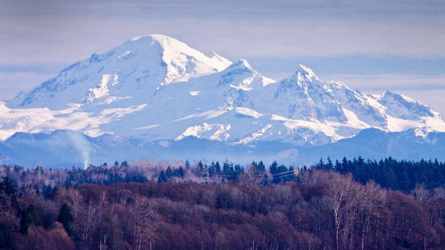
The associated air mass will be cool enough that mountain snow levels will tumble to 3,500 or 4,000 feet, meaning higher passes like Stevens Pass and the North Cascades highway will likely get their first snow of the season. Snoqualmie Pass at 3000 feet should remain a cool rain.
That first snow of the season is not expected to last as warmer air returns later in the week. Yet, this mountain snowfall is a sign that seasons are indeed changing.
The National Weather Service reports November will bring us an El Niño-ish weather pattern.
Ted Buehner is the KIRO Newsradio meteorologist.