PinPoint Alert Day: Smoky conditions, hot weather continue
Aug 5, 2026, 5:42 AM
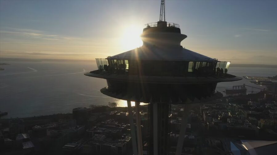
(Photo courtesy of KIRO 7)
(Photo courtesy of KIRO 7)
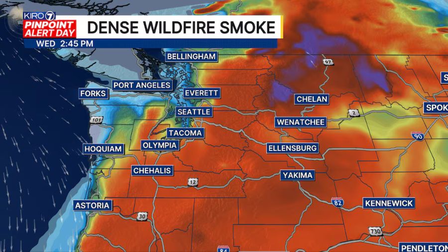
It’s another PinPoint Alert Day across Western Washington as wildfire smoke combines with building heat to create unhealthy conditions for many communities. An Air Quality Alert remains in effect for much of the region, while a Heat Advisory covers most of Western Washington with afternoon highs climbing into the mid-80s and lower 90s.
Air quality varies considerably early this morning. A light northerly breeze is helping keep parts of central Puget Sound and areas farther north in the good to moderate range, but many locations are already reporting moderate to unhealthy for sensitive groups air quality, with pockets of unhealthy air east of I-5 and across portions of the South Sound. Conditions will likely continue to fluctuate throughout the day, but smoke will remain a widespread concern.
Smoke and haze may increase a bit more through this afternoon before the offshore wind pattern begins to weaken. That will eventually cut off the supply of new smoke arriving from Eastern Washington. However, the smoke already trapped over Western Washington won’t disappear immediately. Expect hazy skies and reduced air quality to linger through tonight and much of Thursday, with gradual improvement beginning later Thursday afternoon and becoming more noticeable Thursday night into Friday.
Temperatures will also remain well above average. Most lowland communities will reach the mid-80s to lower 90s today and Thursday. There is still some uncertainty about exactly how much smoke will limit daytime heating, but even if temperatures end up a few degrees cooler than forecast, it will remain uncomfortable for those without air conditioning. The smoke also makes opening windows for overnight cooling much less effective.
By Thursday evening and Friday, strengthening onshore flow should help push much cleaner air back into Western Washington while bringing cooler temperatures. Unfortunately, those increasing easterly winds will raise wildfire concerns across Central and Eastern Washington heading into the end of the week.
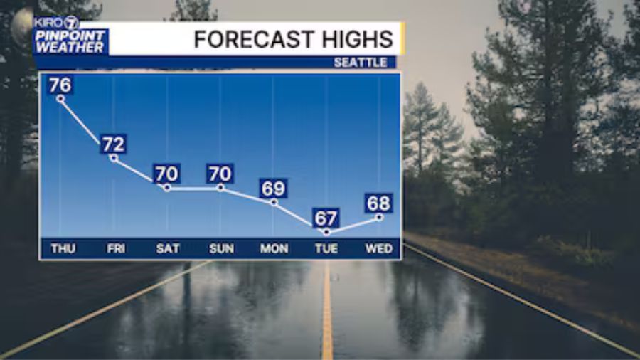
By this weekend, Western Washington should see cleaner air, cooler temperatures in the 70s and low 80s, and at least partial sunshine. Next week looks dry and seasonably warm. Some elevated wildfire smoke may continue to drift west of the Cascades from time to time, but confidence in the details that far out remains lower. We’ll continue to monitor the forecast.