Snowy conditions at Snoqualmie Pass causes spinouts, jackknifed semi
Mar 15, 2025, 1:01 PM | Updated: 1:04 pm

It's a tough weekend for driving over Snoqualmie Pass. This is one of several vehicles that spun out of control on I-90 after a significant snowfall made driving treacherous. (Photo: Washington State Patrol)
(Photo: Washington State Patrol)

Slick and treacherous conditions on Snoqualmie Pass Saturday morning made driving tough for people trying to make it through the Washington Cascades.
The slippery pavement caused a semi to jackknife and several other vehicle spinouts, resulting in lanes of I-90 briefly blocked.
The Washington State Patrol reports a Washington Department of Transportation road grader pulled the stuck semi out of the way, keeping most lanes of travel open on the freeway.
“It was definitely winter driving conditions and we had some spinouts and jackknifed semis, which caused a delay for the plows to keep going,” said Washington State Trooper Rick Johnson. “Fortunately, they were able to do an awesome job and keep the roadway open.”

A WSDOT road grader was able to pull this jackknifed semi out of the lanes of travel, after its driver lost control on I-90 Saturday morning. (Photo: Washington State Patrol)
Chains were required for all vehicles traveling over Snoqulamie Pass on Saturday morning. It is unclear whether the driver of the jackknifed semi had installed chains on his rig.
The National Weather Service has issued a Winter Storm Warning for the Washington Cascades that is effective at least through 11 a.m. Sunday. It says you can expect hazardous weather conditions, especially on the western slopes of the North Cascades and mountain passes.
“There will be more snow coming, so we want people to be aware and be prepared for that,” Johnson said. “If you’re not comfortable driving in those conditions, postpone your trip and go at a different time.”
Compact snow and ice is expected to remain on I-90 througout the weekend, making driving a dicey proposition, especially for those not used to driving on snow and ice.
“They lose traction and slide a little bit and get into a position where they can’t get themselves out of it,” said Trooper Johnson. “When you get severe conditions, even chaining up, you get vehicles that are unable to move.”
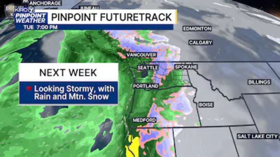
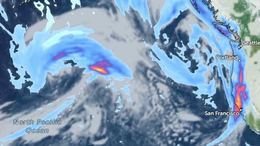
Forecasters expect rain and snow in the mountains throughout the weekend, and a slight chance of thunderstorms in the evening. They predict more rain and snow early Sunday, midnight, with the snow level at about 2,000 feet. An accumulation of two to five inches is possible on Sunday alone, with a total accumulation of six to 16 inches expected by Monday.
Exactly the kind of weather, says Trooper Johnson, that for some, makes more sense to not even try to drive in the mountains.
“If you’re not comfortable or don’t have experience trying to drive in those conditions, we kindly ask that you postpone your trip,” he said. “For those that need to travel, make sure and adhere to restrictions. Those are in place specifically to make it possible to keep the pass open. Because if we get a spinout or a jackknifed semi that blocks any part of the freeway, then the plows can’t continue to do the great job they do by keeping that roadway passable.”
Fortunately, none of the spinouts the state patrol responded to Saturday morning resulted in serious injuries or fatalities.
But the state patrol urges drivers, if they must make the trip, to drive slowly and cautiously.
“Ice and slippery conditions don’t really care if you have 18-wheel drive or four-wheel drive,” Johnson said. “All-wheel drive is great, but it still requires you to adjust your speed, because you can get going better, but stopping is no different than in any other vehicle.”