Summer 2025 review: Warm and dry weather fuels wildfires statewide
Oct 6, 2025, 8:02 AM

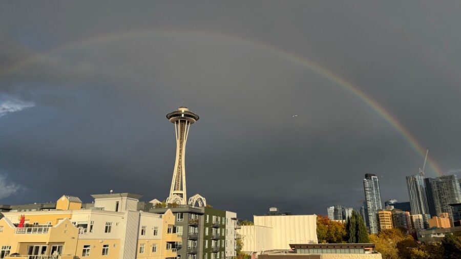
A photo of the Space Needle as the sun sets through wildfire smoke. (Photo: Lindsey Wasson, Getty Images)
(Photo: Lindsey Wasson, Getty Images)
The summer of 2025 in western Washington can be summarized as warm and dry – many would say nearly ideal.
With the exception of March, the winter and spring months had well below-average rainfall for the year heading into summer. The Seattle-Tacoma International Airport (SEA) was nearly five inches below normal for the year through May.
That dry trend continued through much of the summer. Only August had more than the usual rainfall for the month by just more than a tenth of an inch. By the end of September, SEA had finished more than seven inches of rain below average for its annual precipitation thus far.
Elsewhere in western Washington
For the summer months, Olympia finished more than two inches below average, resulting in a total of more than nine inches behind on rainfall for the year. Bellingham was also drier than normal for the summer, but fared better than much of western Washington. For the year, Bellingham was about 3.5 inches below average.
Along the coast, the usually quite wet Forks finished the summer with more than 23 inches of rainfall below average for the year. Forks normally receives more than 100 inches of rain per year. Hoquiam was also dry this summer and finished September about nine inches drier than normal for the year.
According to the U.S. Drought Monitor, these dry conditions have resulted in moderate to severe drought conditions across not only western Washington but the entire state.
RELATED STORIES


Summer temperatures
With SEA reaching 91 degrees on Sept. 16, that was the eighth time SEA reached 90 degrees or better. The average number of 90-degree days at SEA since 2015 has been eight. The average during the 20th century was only three. The hottest day of the year was July 16, with a temperature of 94 degrees.
Olympia reached more than 90 degrees 13 times during the summer. The hottest day of 95 degrees was reached on both Aug. 12 and 24.
Forks also soared to 95 degrees on Aug. 11. Bellingham’s high point was 89 degrees, also on Aug. 11. Hoquiam’s warmest day of the summer was 88 degrees on Sept. 16.
The summer in western Washington was again warmer than average. SEA was overall 1.2 degrees above average, while Olympia was nearly two degrees above normal for the four-month period from June to September.
Wildfires
The warm, dry conditions led to a large number of wildfires across the state. According to the Washington State Department of Natural Resources, more than 1600 wildfires have been reported in the state. In western Washington, the most significant and persistent wildfire has been the Bear Gulch fire in Mason County that started near the beginning of July. That fire has burned over 20,000 acres and continues to burn.
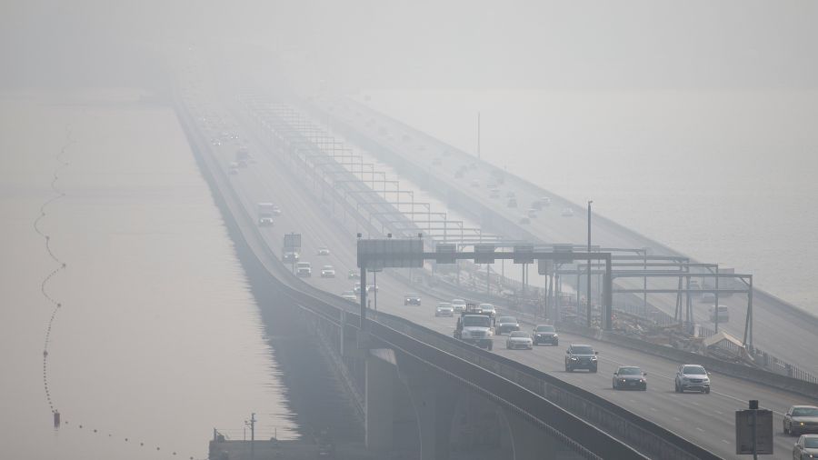
Wildfire smoke again was an issue across much of the state this summer. Wildfire smoke has adversely impacted air quality seven out of the last nine summers, dating back to 2017 when numerous wildfires in British Columbia spread smoke south into Washington.
Looking ahead
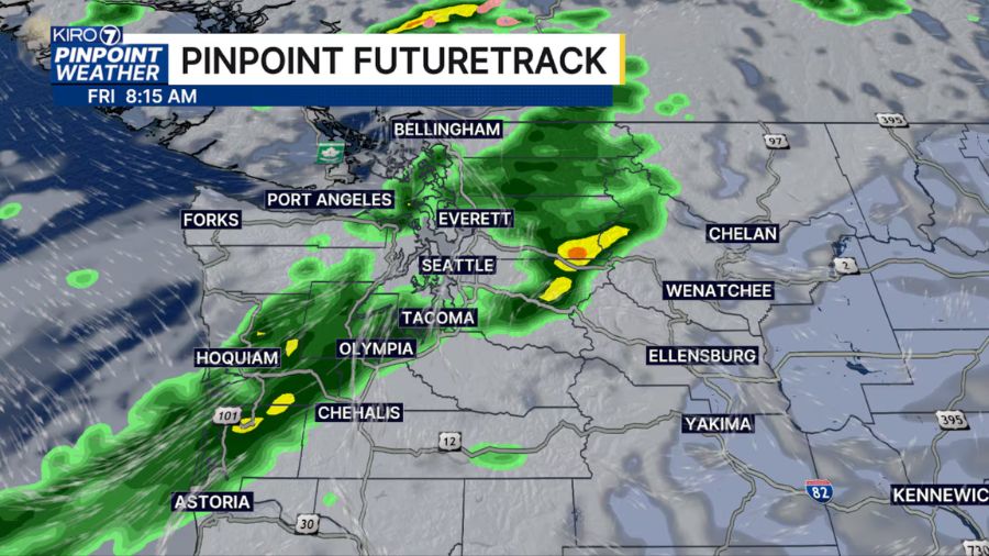
October arrived along with the fall season’s first wet storm. Now, higher pressure aloft has built over the Pacific Northwest for a return to dry conditions that will likely persist into the coming weekend.
If longer-range forecast charts are on track, rainfall is anticipated to resume later in the weekend, along with cooler-than-average temperatures. The latest seasonal weather outlook indicates cooler and wetter-than-average conditions for December through February. That outlook offers promise of a healthier mountain snowpack.
The seasonal weather outlook also suggests that the additional rainfall will provide some relief from this year’s dry conditions and ease the drought situation.
Ted Buehner is the KIRO Newsradio meteorologist. Follow him on X and Bluesky. Read more of his stories here.