PinPoint Alert Day: Brace for increasing showers, potential for thunderstorms
Sep 25, 2026, 5:57 AM
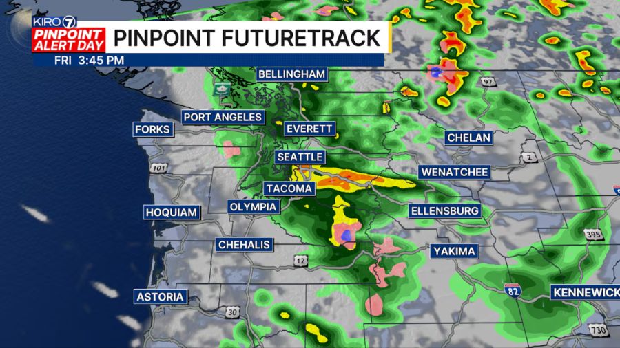
(Graphic courtesy of KIRO 7)
(Graphic courtesy of KIRO 7)
Today is a PinPoint Alert Day, and this is the day we’ve been watching.
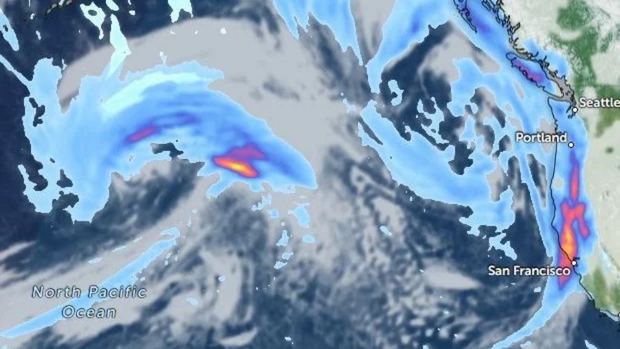
A stronger fall storm is moving through western Washington, bringing a combination of wind, rain, and the potential for thunderstorms.
The weather will change pretty quickly this morning. We’ll start with scattered showers, but those become more widespread as we head toward midday. At the same time, winds will ramp up, especially from Seattle south through the South Sound and along the coast.
The coast and South Sound are under Wind Advisories, where winds will increase through the morning and peak from late morning into the afternoon. Sustained winds will generally be 15 to 30 mph, with gusts around 45 mph and locally closer to 50 mph at the coast.
Again, this isn’t a major windstorm, but the timing is worth watching. Most trees still have a lot of leaves, and wet ground combined with stronger winds could bring down some branches or weaker trees.
Then we could get a little more interesting this afternoon and tonight.
As the low moves across the region, a strong Puget Sound Convergence Zone could develop. That would mean showers becoming more concentrated, with some brief heavy downpours, gusty winds, and an outside chance of thunderstorms. If you hear thunder, you’ll want to take it seriously — lightning will be possible.
The convergence zone could linger into tonight as winds increase through the Strait, but showers will gradually fade later this evening.
And then the payoff is a pretty nice weekend.
Saturday starts cloudy with a few leftover showers or sprinkles, but sunshine will break through during the afternoon. Highs will be in the low to mid-60s both days, with chilly overnight temperatures in the 40s. In fact, we could see our first 40s at Sea-Tac since early June.
So, one active day today, then a much quieter and sunnier weekend.
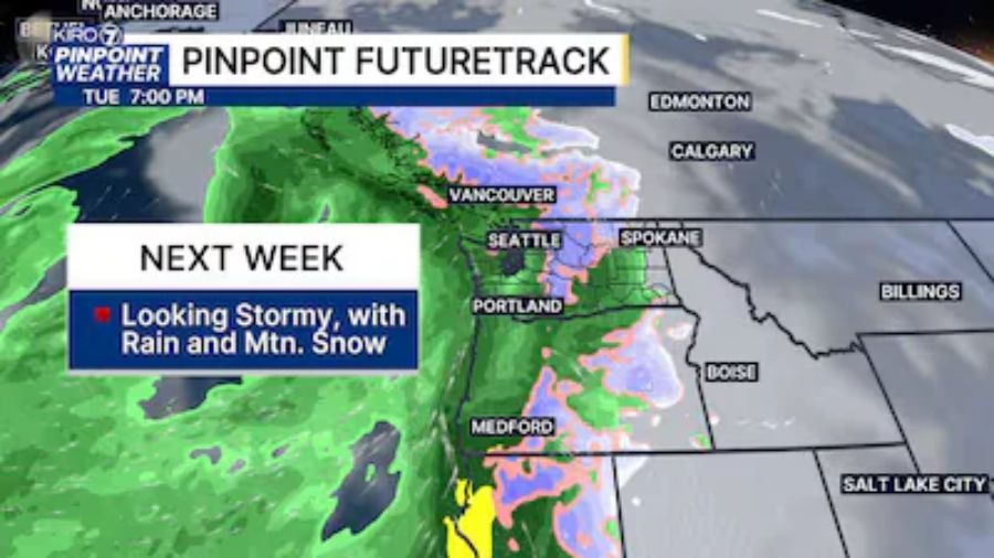
We’ll see another increase in showers as we head into early next week.