Severe thunderstorm watch issued: Next few hours will bring midwest-style storm with possible hail, lightning
Mar 26, 2025, 2:48 PM | Updated: 4:28 pm

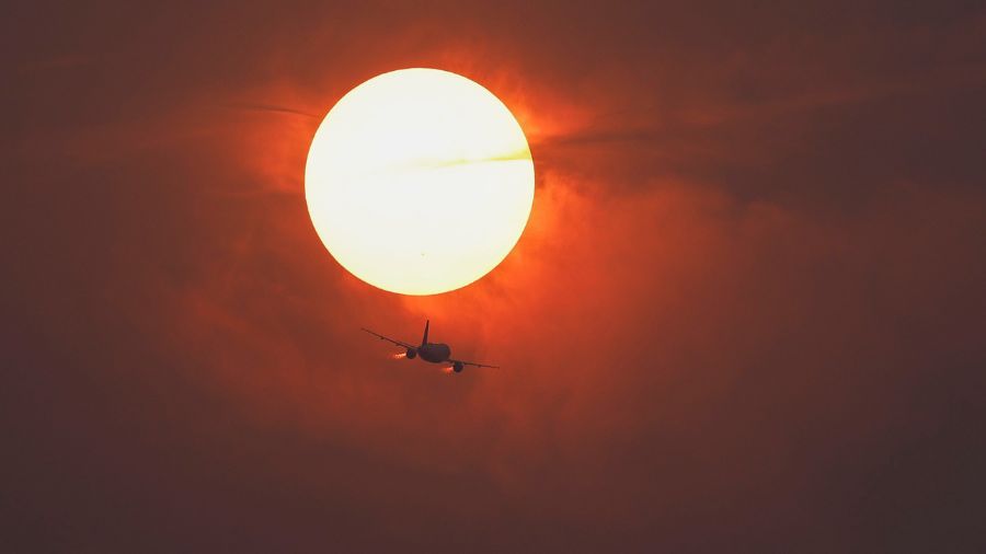
Lightning strikes during a thunderstorm on July 21, 2022. (Photo: Mario Tama, Getty Images)
(Photo: Mario Tama, Getty Images)
A rare and significant weather pattern is expected to develop Wednesday in Western Washington, bringing a high risk of thunderstorms late in the day and into the evening. These thunderstorms will produce a lot of lightning, heavy rainfall, and strong winds, with a threat of large hail and even tornadoes or waterspouts.
On Wednesday around 3 p.m., the National Weather Service issued a severe thunderstorm watch for Clark, Lewis, Thurston, Cowlitz, Pierce, King, and Skamania counties until 9 p.m.
This kind of weather is unusual for Western Washington and is reminiscent of a Midwest or Plains state weather pattern that can produce severe weather. With an upper-level low forecast to set up camp off the Pacific Northwest coast, the southerly flow wind along its east flank will send warm, moist, and unstable air into the region, setting up the environment for these active thunderstorms.
Thunderstorm recipe
As taught in Skywarn Weather Spotter and other weather courses, thunderstorms need three primary ingredients – moisture, an unstable air mass, and lift.
With lots of recent rain and muggy air, moisture can be expected. Late March temperatures are above average, cracking the 70-degree mark, and much cooler air is a part of the offshore upper-level low, leading to the possibility of air mass becoming unstable. This makes it easy for the warm, moist surface air to rise, creating clouds and storms.
The upper-level low itself will provide the lift, given the southerly flow aloft on its eastern perimeter. Adding this all together, our three thunderstorm ingredients will be able to make the recipe for an active thunderstorm episode late Wednesday.
As previously mentioned, the thunderstorms will involve plenty of lightning, heavy rainfall, and downpours.
Safety actions
Late Wednesday afternoon and evening will be a period to keep an eye on the sky, monitoring weather conditions through the Doppler weather radar on websites and weather apps. If severe weather approaches, move indoors.
The phrase – When thunder roars, go indoors – applies here.
There has not been a lightning fatality in the state since 1996 – let’s keep it that way.
If travel is essential, be aware that heavy downpours can result in lots of water on roadways and even the possibility of local flash flooding. Any strong damaging winds can blow down trees and create local power outages.
Tornadoes cannot be ruled out
Nearly all tornadoes are born from thunderstorms. Washington averages about two to three tornadoes per year. This weather pattern hosts the environment and potential to produce tornadoes, despite its rarity for this region. The chances of a tornado are quite low, yet the threat cannot be ruled out. Here are some helpful videos you can watch to prepare for a tornado event:
Previous storms
The last time this region had a similar weather pattern was on May 4, 2017, near Lacey, Washington. A severe thunderstorm struck the area, flooding streets, creating hundreds of lightning strikes — leading to strong winds blowing down trees and knocking out power.
Looking at the rest of the week
By the end of the week, the severe weather threat will be over. The upper-level low is expected to remain off the coast and send cooler conditions onshore with frequent showers Thursday and Friday before tapering off this weekend. High temperatures will cool back down into the 50s.
Wednesday’s weather pattern is one to pay a great deal of attention to, given how rarely it occurs in Western Washington. Keep an eye to the sky, and be prepared to take action in case threatening weather approaches.