Will the sun come out? A look at Western Washington’s weekend forecast
Mar 21, 2025, 5:00 AM

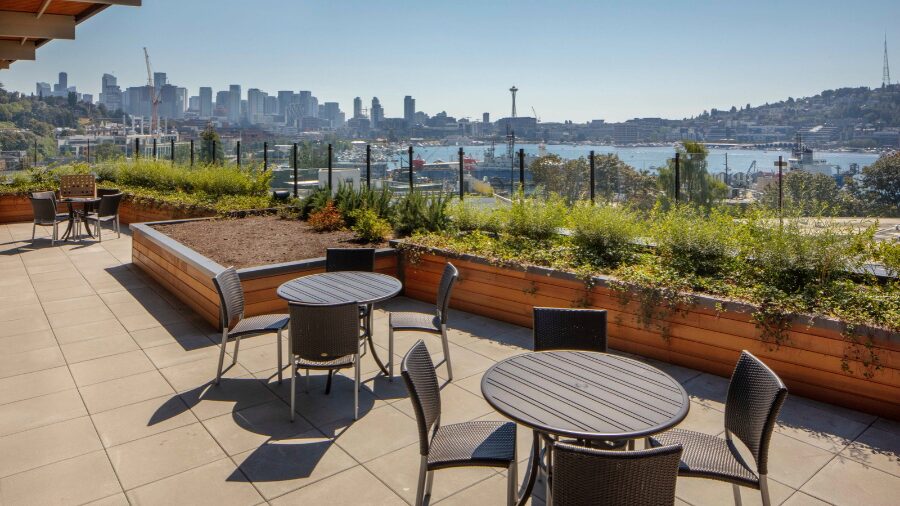
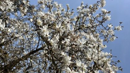
A garden in Seattle in March. (Photo: @Jenni Reynolds-Kebler via Flickr Creative Commons)
(Photo: @Jenni Reynolds-Kebler via Flickr Creative Commons)
Welcome to spring! Let’s take a look at Western Washington’s weekend forecast.
The calendar may say spring has arrived, yet lingering winter-like weather is expected through this weekend. Then, some spring-like warmer weather is forecast to finally make an appearance toward the middle of next week.
Western Washington’s weekend forecast
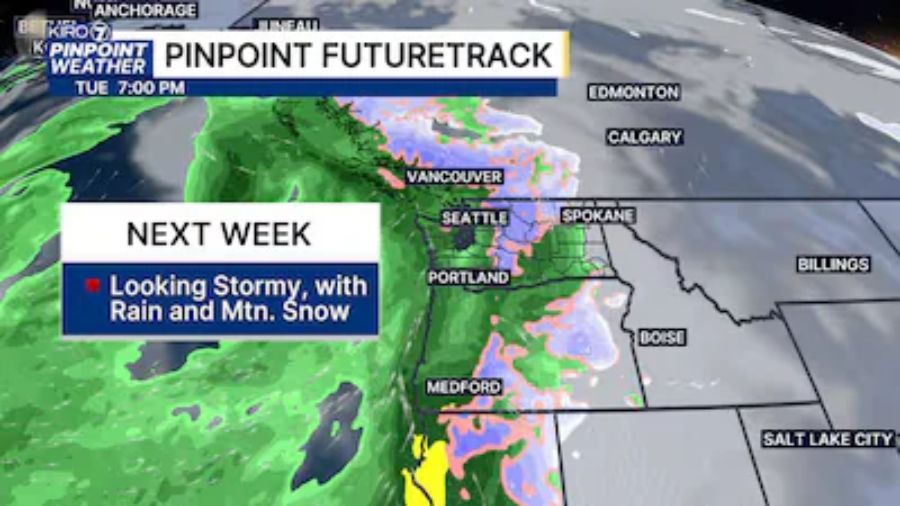
One Pacific weather system will sweep through Western Washington Friday, with another round of rain, mountain snow and blustery winds up to 35 mph. Showers Friday night are expected to taper off Saturday with some sunbreaks, making this half of the weekend by far the better day for outdoor activities.
By Sunday, a following Pacific weather system will spread rain onshore with more mountain snow to accumulate.
Temperatures this weekend will remain about 5 degrees or so cooler than mid-March averages. Highs are anticipated to nudge a bit above 50 degrees, while lows will be in the lower to mid-40s.
The mountains
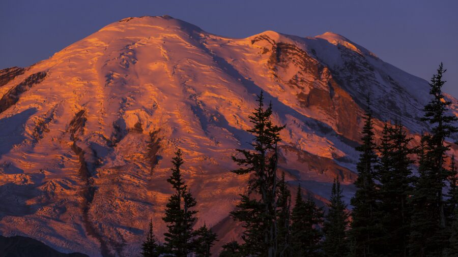
The cooler-than-average weather translates to mountain snow levels near or below all the mountain highway passes through the weekend. Periods of snow are expected, with snow levels hovering between 2000 and 3000 feet. Heavier snow amounts can be anticipated Friday night into early Saturday and again Sunday, with snow levels rising to near 5000 feet by the evening.
Another one to two feet of new snow is expected, with up to 3 feet in the higher terrain, including the volcanoes. Motorists driving across Cascade pass highways should again be prepared for winter weather driving conditions.
The fresh new snow will continue to inch the overall mountain snowpack closer to average. The usual peak of the mountain snowpack occurs around April 1st. Thanks to the accumulating snow from the past week or so, snow depths are now in the 70 to 100% of average for this time of year. The water within the snowpack is 72 to 97% of normal.
RELATED STORIES
Spring-like weather next week
The rainfall and mountain snow are expected to taper off Monday as higher pressure aloft builds toward the Pacific Northwest. This weather pattern will also bring warmer air into the region.
Tuesday and Wednesday offer more sunshine and high temperatures climbing into the 60s, likely the warmest so far this year and the warmest since mid-October.
Unfortunately, if longer-range weather guidance is correct, the spring-like weather will be short-lived as a return to wetter weather resumes later next week. Yet, until then, the spring-like weather will offer some relief from the recent cool, damp weather.
Ted Buehner is the KIRO Newsradio meteorologist. Follow him on X and Bluesky.