Wind, rain and the front edge of La Niña coming through Western Washington
Oct 18, 2024, 10:59 AM | Updated: 11:10 am

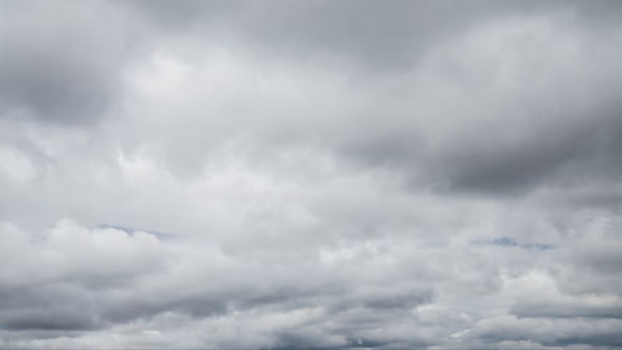
8 a.m. satellite image. The greatest amount of rainfall is moving into British Columbia. The tail end of this weather system will move through Western Washington Sunday. (Photo: National Weather Service)
(Photo: National Weather Service)
After fine, dry early fall weather, La Niña brings the season’s first respectable Pacific weather system onshore this weekend. Some are calling this weather event an atmospheric river, and it does have some of those characteristics. Yet, it is nowhere close to an intense weather system. Given it is the first meaningful fall weather system, it will feel like a fall storm.
How Much Rain?
The bulk of the rain with this weather system is expected to be aimed at Vancouver Island. By the end of the weekend, what’s left of this system will sag southeast through Western Washington.
Total rainfall amounts will taper southward through the region. The Olympics’ north coast and west slopes are anticipated to receive the most significant amount – 4 to 8 inches of rain through Sunday night. The North Cascades are forecast to get 2 to 4 inches of rain with snow levels well above 8,000 feet, meaning the recent light snowfall in the higher elevations will melt away.
The Puget Sound region is expected to receive about one-half to one-and-a-half inches of rain through Sunday night. Lighter amounts are forecast heading further south toward northern Oregon.
More Ted: Western WA does not have to worry about hurricanes, just bomb cyclones
How About Wind?
The National Weather Service has a wind advisory in place for the North Sound region from Snohomish County and Admiralty Inlet northward and the north coast. Southerly winds, mainly Friday night, are expected to blow from 20 to 30 mph sustained with gusts up to 45 mph.
Further south, southerly winds in the 15 to 25 mph range are anticipated Friday night. The winds will ease Saturday through Sunday.
Weather Impacts
The season’s first healthy rain event will result in area rivers responding, but no flooding is expected.
With leaves on trees, this first blustery wind event will likely knock down many of these leaves. Some weaker limbs may snap off, falling on power lines for the possibility of local power outages, particularly in wind advisory targeted locations.
With freshly fallen leaves mixed with rainfall, storm drains could become clogged with leaves resulting in ponding of water on roadways. Local public works agencies ask residents to clear leaves from storm drains when possible.
And speaking of roadways, oil has had the chance to accumulate on roadways during the recent drier weather than usual. The mix of that oil and rain will likely create slick conditions. Motorists should take it easy on the roads this weekend, particularly in areas of standing water.

Avoid the ‘Doom Loop’: New rule makes it easier to cancel subscriptions
Looking ahead
The latest forecast for December 2024 through February 2025 has the characteristic look of La Niña.
According to the National Weather Service’s Climate Prediction Center, which released its latest seasonal weather outlook on Thursday, a slowly developing La Niña is favored to influence conditions for the upcoming winter season across most of the country.
For the Pacific Northwest and particularly Western Washington, overall average temperatures are strongly favored to be below average with above-average precipitation. This winter’s La Niña will be the fourth in the past five winters.

What is La Niña?
La Niña is when sea surface temperatures in the Eastern Pacific tropical waters – the waters west of Peru, are cooler than average. Those cooler waters adjust weather patterns in the tropics and are reflected in the mid-latitudes by adjusting the Pacific storm track, spending more time at our latitude in the Pacific Northwest versus say, California. As a result, our region usually has a cooler and wetter winter season.
Jon Gottschalck, chief of the Operational Prediction Branch of the Climate Prediction Center agrees. “This winter, an emerging La Nina is anticipated to influence the upcoming winter patterns, especially our precipitation predictions,” Jon said. He went on to highlight La Niña conditions are expected to develop later this fall and typically lead to a more northerly storm track during the winter months, leaving the southern tier of the country warmer and drier.
Usual Impacts of La Niña
The good news with La Niña winters is they often result in a healthy mountain snowpack, much needed after last winter’s El Nino low snowpack. In addition, La Nina winters also frequently result in lowland snow across Western Washington. The La Niña winters of 2020-21, 2021-22, and 2022-23 resulted in lowland snow events across the region.
La Niña also can also result in heavy rainfall events and flooding, usually in the fall. November is the number one month for flooding. Strong damaging wind storms are another potential La Niña by-product.
It is also time to prepare for any hazardous weather events. To help get ready at home, work, your car or even your pets, visit ready.gov or the American Red Cross Preparedness website for easy to use helpful checklists. The Great Shakeout earthquake drill was Thursday and served as another reason to prepare for whatever nature throws at us – in advance.
Contributing: Bill Kaczaraba, MyNorthwest
Ted Buehner is the KIRO Newsradio meteorologist. You can read more of Ted’s stories here and follow him on X.