Spotty snow showers possible through Tuesday
Mar 3, 2017, 5:58 AM | Updated: Mar 5, 2017, 9:04 pm
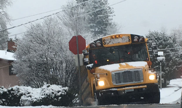
The snow earlier this week caught many off guard, including school bus drivers. (KIRO Radio)
(KIRO Radio)
The National Weather Service is calling for the possibility of more lowland snow around Puget Sound through Tuesday.
NWS predicts a 70 percent chance of precipitation Sunday night, with new snow accumulation of less than a half inch possible. Accumulation for Tuesday is expected to be less than one inch.
Related: Snowy winter eats up Washington state’s road-clearing budget
Besides the precipitation, the “unusual cold” will dissipate in the next few weeks, writes University of Washington Professor of Meteorology and Atmospheric Sciences Cliff Mass. Mass says this has been an unusually cold late-winter period over the Pacific Northwest, but that the sun is “rapidly strengthening and the snow threat will rapidly fade in the next few weeks.” Meanwhile, Mass says, the Cascades will be buried with more snow, which is good news for skiers and water resources this summer.
Mass says virtually the entire West Coast was between 2 and 4 degrees below normal for this time of year, with large sections of Northern California and Southern Oregon between 4 and 7 degrees below normal. In Seattle, the temperatures have been well below normal the past two weeks, never hitting the normal maximum, Mass writes.
Hopefully this time around, not as many people will be surprised about the cold.
Though the Weather Service did mention potential snow for the end of February, the predictions didn’t meet the reality. Mass says snowfall of .5 inches to 2.5 inches fell around Seattle and neighboring areas. The culprit was a quickly descending snow level that resulted in accumulation even on roads that were above freezing.
Follow @http://twitter.com/Mynorthwest