‘Big cooldown’ arrives in Puget Sound as snow falls in mountain passes
Oct 8, 2019, 7:15 AM | Updated: 11:35 am

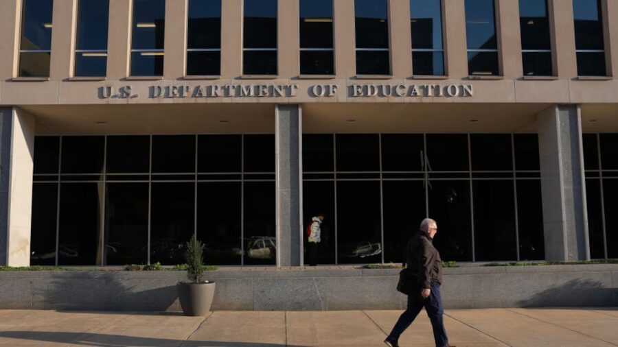
Eastbound over Snoqualmie Pass back in 2015. (AP)
(AP)

Both Snoqualmie and Stevens Pass are seeing snow Tuesday, as a high winds and low temperatures descend on Western Washington.
Check webcams for Washington state mountain passes
KIRO 7 meteorologist Nick Allard estimates snow levels down around 3000 feet elevation. “At least a few inches” will fall at Stevens Pass before it’s all said and done, “with a bit less at Snoqualmie.”
Happy Tuesday! Scattered showers early with more consistent rain in the convergence zone. Snow levels are coming down to about 3,000' with snow at Stevens. At least a few inches will fall there, with a bit less at Snoqualmie. T-storms possible. #NickKnows pic.twitter.com/PRabCq6K6x
— Nick Allard (@NickAllardKIRO7) October 8, 2019
The National Weather Service reported “a mix of rain and snow” beginning at 6:15 a.m. at Snoqualmie Pass, with temperatures dipping down to 33 degrees. Snow was spotted at Stevens as early as 4:30 a.m. WSDOT advises drivers to use traction tires for both passes, with oversize vehicles prohibited.
A Winter Weather Advisory was also issued for the Cascades over 3,000 feet elevation, with concerns that snow at Stevens Pass could accumulate up to five inches. Snow was mixed in with rain at 928 feet elevation in Skykomish, just outside of Stevens.
Rain and snow showers at Snoqualmie are expected to improve as Tuesday goes on.
That all arrives as part of a “big cooldown” for Western Washington, with overnight lows in the region set to drop into the 30s both Tuesday and Wednesday. Hail was also spotted across the Greater Seattle Area, from Bothell all the way down to Bellevue. On Wednesday, temperatures will get as low as 35 degrees in Seattle.
Parts of the Puget Sound area are also getting battered by high winds — gusts peaked between 20 and 30 miles per hour on Monday. The NWS expects that to continue through Tuesday evening.
Seattle prepares for ‘very active winter’ as snow arrives on Mt. Rainier
In Pierce County, winds got so intense that a large tree came crashing down on a Lakewood home Monday afternoon. No one was hurt, after a tree snapped at the base, went through a fence, and landed on the home’s roof, causing major damage. The house was red-tagged and is not considered safe to be inhabited.
All this could very well be what the precursor to what University of Washington climate scientist Mass predicts will be a “very active winter” for Western Washington, spurred by an unusually early “Arctic express.”
In the lowlands, one local weather blog predicts Seattle could even see snow of its own as early as Thanksgiving.
“Although it’s, of course, impossible to accurately predict the date of Seattle’s first snowfall, I do think the dice may be loaded a bit toward a mid-to-late November snowfall,” Seattle Weather Blog’s Justin Shaw told Patch.