Seattle-area dry streak ends at 51 days, with another heat wave on the horizon
Aug 6, 2021, 6:37 AM | Updated: 10:30 am
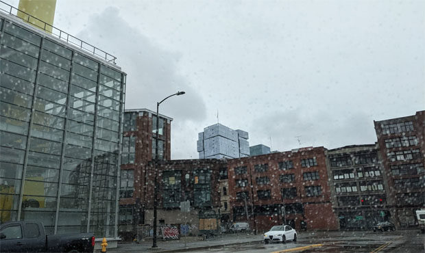
Rain near downtown Seattle. (MyNorthwest photo)
(MyNorthwest photo)
The Seattle-area dry streak has finally came to an end after 51 days, falling just short of the all-time record.
State shatters records amid ‘early, alarming’ start to wildfire season
The streak of rain-less days at Sea-Tac Airport — where the National Weather Service measures local weather — concluded Thursday thanks to a hundredth of an inch of measured precipitation. While Sea-Tac fell short of the 55-day record set in 2017, it did tie a 1951 mark for the second most consecutive dry days.
More light rain is in the forecast for the Seattle area Friday and Saturday, with cooler weather setting in for the next few days. After that, yet another heat wave is expected to roll into Western Washington.
“The biggest forecast concern for the long term period will be the potential for very warm conditions and the return to dry weather,” the NWS said in its latest forecast.
Despite a “good amount of uncertainty” on just how warm it might actually get, by next Wednesday temperatures could range between 84 and 97 degrees in the Seattle area, 80 to 90 in Everett, and 88 to 106 in Olympia.
There is still a good amount of uncertainty in how warm it will get later next week. This graphic shows the current range of potential high temperatures for Wednesday. Expect changes to the forecast, but warmer weather expected mid to late week. #WAwx pic.twitter.com/ijq2HLrMKz
— NWS Seattle (@NWSSeattle) August 5, 2021
The NWS says to “expect changes to the forecast” between now and then, but also notes there’s an 80% chance temperatures will fall between the currently predicted ranges, with wider ranges representing less exact certainty.
Follow @http://twitter.com/Mynorthwest