WSDOT stepping up its game with revamped website
Nov 2, 2021, 5:34 AM

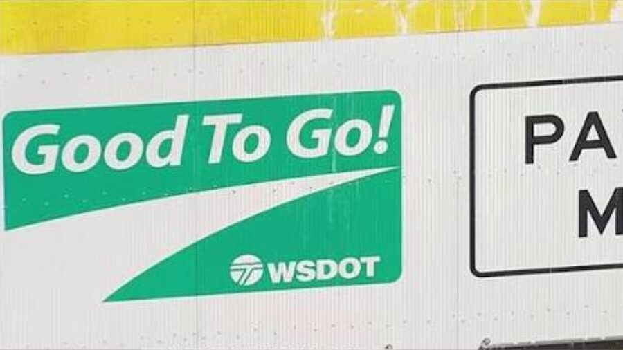
Sign showing toll rates for drivers with a Good To Go! Pass and Pay By Mail customers on SR 520. (Photo courtesy of WSDOT/Flickr)
(Photo courtesy of WSDOT/Flickr)
Good to Go got a new website this summer. This weekend, the Washington State Department of Transportation (WSDOT) will unveil its new website, promising a much more user-friendly experience.
State to raise, expand tolls on freeways over pandemic losses
This new website is three years in the making, and I even helped with its formation, spending some time going over the test site and providing feedback on what I liked or didn’t like as the designers were fine-tuning the final product.
I use the current website daily to confirm travel conditions and travel times to help Puget Sound drivers get around, but the site is kind of clunky. It was time for an update.
“It’s been more than 15 years since it had any kind of major update, and that’s a long time in technology,” WSDOT’s Mike Allende said. “A lot has changed in those 15 years — a lot of what people expect from getting communication has changed.”
The current site is not very mobile friendly, and that’s something WSDOT wanted to fix.
“We did a lot of testing over the last three years in developing this to find out just what people want to know and how to go about finding that,” Allende said. “We’ve crafted this new site to meet those demands, and this is going to be a much simpler and more user-friendly experience for people.”
Is it time to sell Washington ferry naming rights to raise money?
The current website has 14,000 individual pages, and it feels like you needs a cypher, and perhaps an old parchment map, to get the information you need. The new website is down to just 2,000 pages.
“We describe it as kind of a storage closet,” Allende said. “If you think about looking for a sock in a storage closet, that’s like finding information on our website in a lot of ways.”
The site will have information on biking, rail, and the ferry system. It will also feature a new individual trip map, similar to many travel apps or maps out there, that will direct you on your journey. It will highlight accidents, construction, and maps.
The site goes up Sunday, and you should expect some intermittent slowdowns as it is updated.
Check out more of Chris’ Chokepoints.