El Nino may warm up Western Washington winter
Sep 6, 2012, 1:20 PM | Updated: 3:18 pm

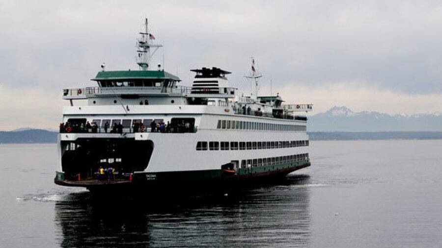
An El Nino in Western Washington means it'll be a warmer and drier fall and winter. (AP Photo)
(AP Photo)
While it may be 80 degrees and you’re thinking about how to enjoy it before the rain-free streak ends, forecasters are already looking ahead to winter.
The National Weather Service says warming temperatures on the surface of the Pacific Ocean indicate the beginnings of El Nino.
What is El Nino and how is it different than its little sister, La Nina? “El Nino is characterized by unusually warm temperatures and La Nina by unusually cool temperatures in the equatorial Pacific,” according to the National Oceanic and Atmospheric Administration.
For Western Washington, an El Nino means it’ll be warmer in the lowlands this fall and winter, and snow will arrive in the mountains in December.
KING 5 Meteorologist Rich Marriott says it looks like a weak El Nino from October until March when the rain and snow return.
“Every El Nino winter is a little different,” Marriott says.
He adds that the last El Nino winter was in 2009-2010. La Nina was present last winter (2011-2012), which if you don’t remember, included a lot of snow and an ice storm in January. The City of Seattle said it used up an entire year’s
supply of liquid salt brine and rock salt.
Seattle City Councilmember Tom Rasmussen said they’ve budgeted for about one more storm this year, and “anything beyond that, we’re going to have to go into our emergency fund.” Read more.
The National Weather Service will release an update in October.
A little history:
The last time we had a ‘normal’ winter: 2008-2009. Dave Ross ‘snow’ Commentary, Dec. 18 2008
And while El Nino and La Nina may seem like fun terms for weather nerds and city officials to throw around, the National Weather Service has a fun chart documenting the history of the phenomenons since 1950. (El Nino in red and La Nina in blue).