Western WA weather: Dry week ahead with lots of morning fog
Jan 13, 2025, 5:44 AM

Foggy conditions over the weekend near the NWS Seattle offices. (Photo courtesy of NWS Seattle/Twitter)
(Photo courtesy of NWS Seattle/Twitter)
This week is expected to be another generally dry period of time. Higher pressure aloft is forecast to hold over the Pacific Northwest through the week with one exception. On Wednesday night and Thursday, a weak weather system tracking through British Columbia has the potential to produce some light precipitation in mainly the northern half of Western Washington.
This mid-January dry weather is anticipated to result in areas of morning clouds and fog. On Monday and Tuesday, the sun will struggle to make an appearance in the afternoon. By Wednesday, more sunshine is anticipated by the afternoon.
On Thursday, the weak weather system moving through British Columbia could produce some light rain across Western Washington, mainly north of Seattle. As that weather system heads further inland, drier weather will resume on Friday with a repeat of areas of morning clouds and fog.
PNW weather update: Expect reprieve from ‘big dark’ with drier, sunnier week
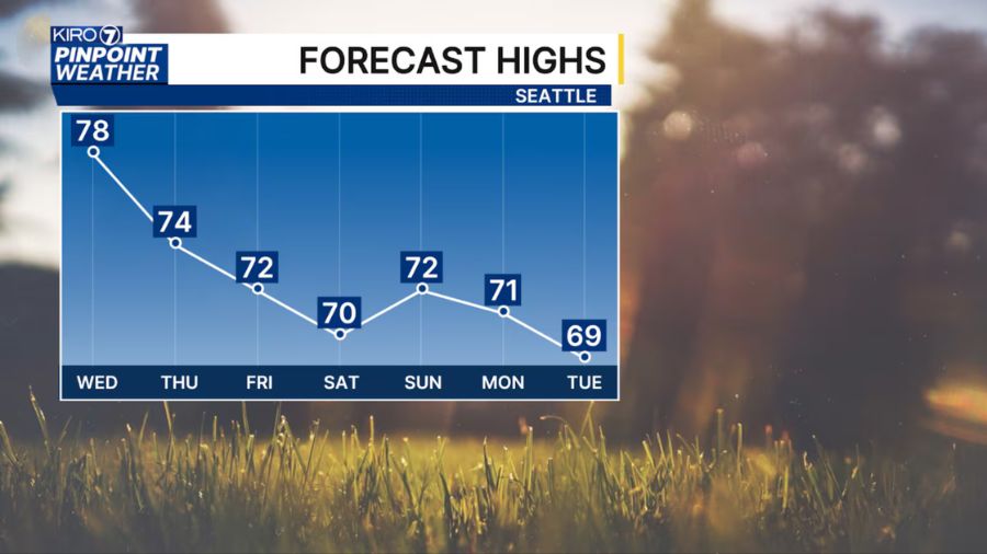
Temperatures this week are expected to be near or a bit below seasonal averages, with highs mainly in the lower to mid-40s and lows in the upper 20s and 30s. For areas such as the South Sound, freezing temperatures in the mornings will likely produce icy spots on the roads, particularly on bridges and overpasses, so have that ice scraper handy. Average Western Washington high temperatures for mid-January are in the mid and upper 40s, with lows in the 30s.
In the mountains, freezing levels are expected to rise during the first half of the week, reaching close to 9,000 feet Wednesday. The passing weather system to the north Thursday could produce some light snow above 3,000 feet before conditions dry out again on Friday.
At this point in the mountain snow season, snow depths range from 87% to 142% of its average, depending on the location. The water equivalent in the snowpack ranges from 79% to 130% of its average.
In the lowlands, the recent drier weather has resulted in this month’s precipitation at only about 50% of normal. This week’s drier weather will push that percentage further below average.
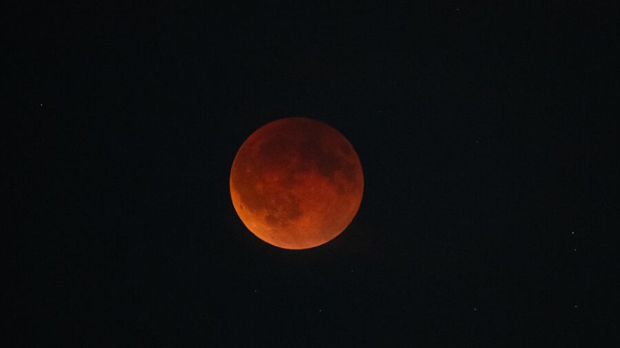
The year’s first full moon, called the Wolf Moon, will be on Monday night. Many areas should be able to view this full moon under clearing skies.
More weather news: Cliff Mass doesn’t think the California wildfires had much to do with climate change
The full moon is also a reminder that King Tide season is not over yet. With the moon and sun aligned with Earth, another set of high tides are set for this week, peaking on Tuesday and Wednesday. Thanks to higher atmospheric pressure over the region this week, this set of King Tides should have a minimal impact on coastal flooding in low-lying areas.
If such high tides are combined with incoming robust Pacific weather systems associated with strong gusty winds, tides can rise a foot or two higher than the tide tables. Water can inundate many low-lying areas and roadways as it did along the outer coast and in many parts of Puget Sound in December 2023.
Many people are asking if this region is going to get snow in the lowlands of Western Washington. The latest weather outlook, starting with the coming holiday weekend and into next week, reflects cooler-than-average temperatures, but below-average precipitation. Temperatures may be cool enough for the potential of snow, yet without available moisture, the threat of snow should remain low. Yet, this situation bears watching – stay tuned!
Ted Buehner is the KIRO Newsradio meteorologist. You can read more of Ted’s stories here and follow him on X