Lowland snow in the forecast for areas of Western Washington
Nov 2, 2017, 10:34 AM | Updated: 11:25 am
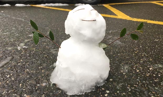
(Dyer Oxley, MyNorthwest)
(Dyer Oxley, MyNorthwest)
It’s going to feel like winter for the next few days as temperatures dip and the potential for lowland snow increases.
Snow levels could drop to 500 feet or below Thursday afternoon through Friday evening in areas of Western Whatcom, Western Skagit, and San Juan counties, as well as Port Angeles, according to the National Weather Service. Light snow will be possible.
Winds of up to 30 mph with gusts of 45 mph will be possible for Western Whatcom, Western Skagit, and San Juan counties as well, according to the Weather Service.
On Friday, Seattle will see highs in the mid-40s and lows in the upper 30s.
By Saturday morning, snow levels are expected to be below 1,000 feet over the interior from Puget Sound northward. It will be chilly, but the Weather Service doesn’t expect snow. Lows will drop to the mid-30s.
Another system is anticipated Saturday afternoon or evening. More lowland snow could be possible in some areas of Western Washington.
Drier air will move over the area Monday.
Follow @http://twitter.com/Mynorthwest