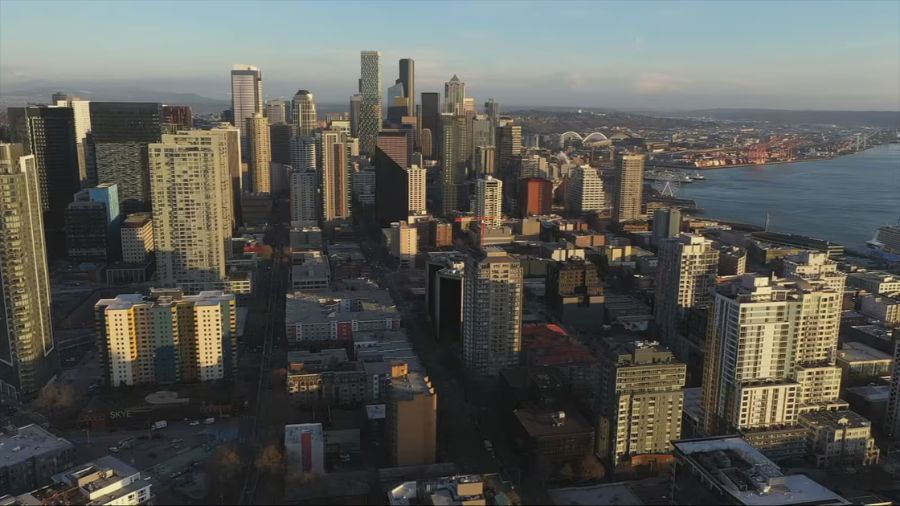
The fall equinox arrives today, and fall-like weather is right behind it
Sep 22, 2026, 5:00 AM
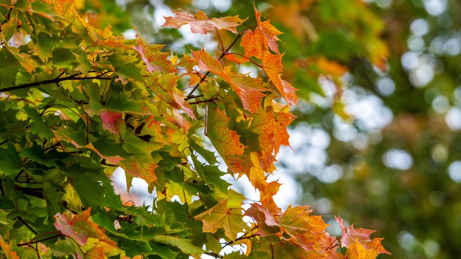
A close up view shows a tree branch with vibrant autumn leaves in shades of orange, green, and red. (Photo: akophotography via Envato)
(Photo: akophotography via Envato)
These final days of summer, since late last week, have offered more dry weather, sunshine, and mild temperatures ranging from the mid-60s to mid-70s in the Puget Sound region.
Yet, overnight temperatures had that feeling of fall. Lows since late last week in outlying areas such as Olympia, Shelton, and Bellingham were cool – in the lower 40s.
Fall Equinox is Tuesday
The fall equinox is today at 5:05 p.m. The fall equinox is also known as the autumnal equinox, and the following day is the first full day of fall.
Both the spring and fall equinoxes are the only two moments each year when the Sun lies directly above Earth’s equator. The planet tilts about 23 and a half degrees off its north-south axis.
As Earth makes its annual rotation around the Sun, for six months the North Pole is tilted toward the Sun for the spring and summer seasons. For the other six months, it is the South Pole that is tilted toward the Sun, resulting in the Northern Hemisphere’s fall and winter seasons.
This time of year, the rate of daylight loss reaches its peak, dropping nearly 3 and a half minutes per day. The last 7 p.m. sunset of the year is set to occur on Sept. 25.
During the days around the fall equinox, sunrise and sunset are both around 7 a.m. and 7 p.m. for a total of about 12 hours of daylight. In contrast, back in late June, there was nearly 16 hours of daylight.
That decreasing daylight momentum will gradually slow as we get closer to the winter solstice in the latter part of December, bottoming out at about 8 hours and 20 minutes around the solstice.
Taste of fall late this week
More of the same morning clouds, afternoon sunshine regime is expected to start the week with seasonable high temperatures in that mid-60 to mid-70 range in much of western Washington.
Lows should remain in the lower 40s in the cooler outlying regions to the lower 50s in more urban areas.
The weather forecast, though, for late this week offers a taste of fall as a weakening Pacific weather system works its way onshore. More cloud cover and some much-needed rain are expected, with high temperatures struggling to warm into the 60s. The bulk of the rainfall is anticipated to fall late Friday into Saturday before drying out on Sunday.
Much of western Washington remains from an inch to 4 inches of rainfall behind average for the year. So far in September, rainfall amounts are around average and with the expected rain late in the week, the month will likely finish close to average.
RELATED STORIES



Seasonal weather outlook
With a strengthening and growing likelihood of a record El Niño by the end of the year, the latest seasonal weather outlook reflects a typical El Niño weather season.
El Niño is the opposite sibling of La Niña, when the ocean waters in the eastern Pacific Ocean tropical waters, the waters west of Peru, are warmer than average. La Niña is when those same tropical waters are cooler than average.
La Niña and El Niño make big adjustments in how the North Pacific storm track behaves. For La Niña, Pacific storms spend more time moving onshore into the Pacific Northwest, as opposed to El Niño, when the storm track takes a more constant path into California and beyond across the southern tier of the U.S. That part of the country sure can use the rain and mountain snow.
El Niño winter seasons for western Washington tend to be warmer than average and lean toward below-average precipitation and a much poorer mountain snowpack. The latest seasonal weather outlook shows exactly that trend through February.
As the summer season comes to an end, cooler, more fall-like weather is anticipated heading into October. With the shorter days, average high temperatures drop steadily from the upper 60s this week to the upper 50s a month from now.
If the seasonal weather outlook is on track, the overall drier-than-average conditions are likely to continue, with good chances of warmer-than-average temperatures.
A silver lining? Perhaps the warmer-than-average temperatures will result in lower heating costs through the winter.
Ted Buehner is the KIRO Newsradio meteorologist. Follow him on X and Bluesky. Read more of his stories here.