Fun in the Seattle sun ending this week as rain returns, but not a ton
Jan 27, 2025, 8:18 AM | Updated: 8:37 am

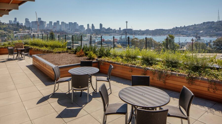
The sun shines near the Space Needle. (AP Photo/Ted S. Warren)
(AP Photo/Ted S. Warren)
All good mid-winter sunshine comes to an end, and that is the forecast for later this week.
In the meantime, the huge ridge of upper-level high pressure off the coast will maintain more cool sunshine for the first half of the week. That weather pattern has resulted in no significant rainfall since Jan. 10.
From Olympia to Bellingham, rainfall this month has been rather meager for this time of year. Seattle-Tacoma International Airport (Sea-Tac) got just over an inch so far this month. The average rainfall for the month is about 5.8 inches. Olympia and Bellingham have also only received well under 30% of average monthly rainfall.
Currently, Olympia, Seattle, Everett and Bellingham all rank in the top five driest Januarys on record. The question is whether the change to a wetter weather pattern will adjust those rankings later this week.
Costco’s big beverage swap: Coke is returning to store food courts
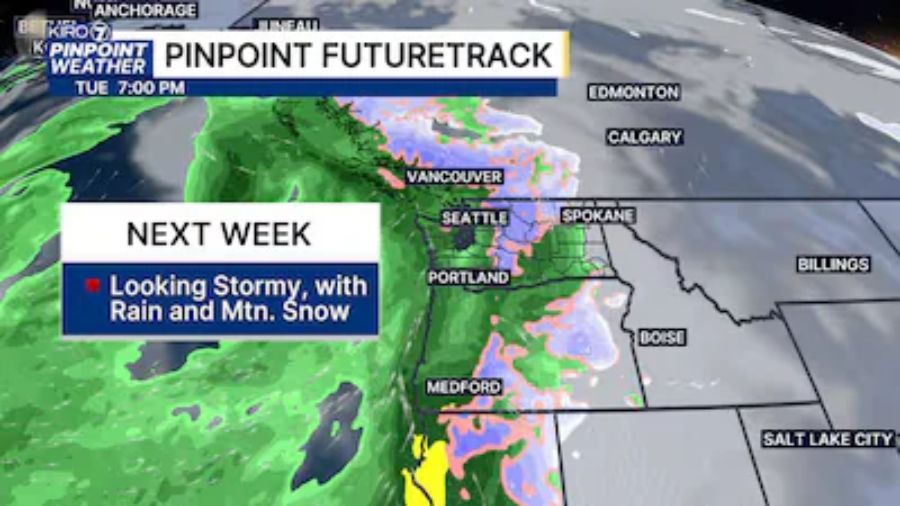
The intense high pressure aloft off the coast is forecast to break down and shift inland Thursday and Friday. That change will permit a Pacific weather system to spread rain onshore with milder temperatures. Rain amounts will likely range from one-quarter to three-quarters of an inch.
Low temperatures early this week will remain relatively cool, in the 20s to mid-30s, about five to 10 degrees below average. By Thursday and Friday, the incoming weather system will moderate low temperatures, ranging from the mid-30s to lower 40s. High temperatures are expected to remain in the 40s through the week.
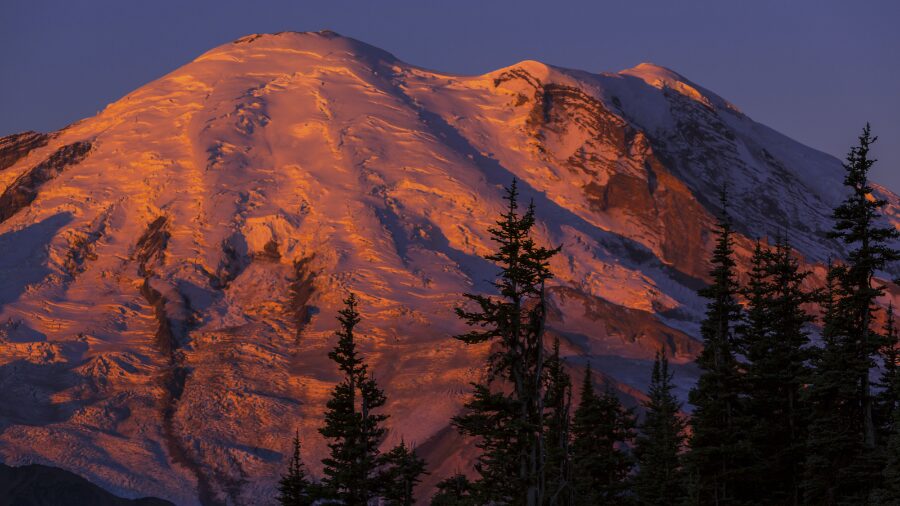
In the mountains, snow will return late Thursday and Friday. Snow levels are expected to hover around 3,000 feet, meaning all the Cascade highway passes should receive much-needed fresh snow. Motorists should prepare for winter weather driving conditions.
75 Years – The all-time record low temperature
Friday, Jan. 31, marks 75 years since the all-time record low temperature occurred at Sea-Tac – zero degrees. The winter of late 1949 and 1950 was the longest stretch of regional cold weather in the 20th century. An arctic blast plunged south into the Pacific Northwest in the final days of 1949, and surges of cold air continued into early February 1950.
Periods of snow fell during these six weeks, but not as much as the 6 feet plus during the winter of 1968-69. Nevertheless, clear nights and freshly fallen snow led to many single-digit low temperatures in January 1950. Jan. 31 was the coldest of them all at Sea-Tac. Everett dropped to two degrees above zero. Olympia was one degree above zero, Bellingham was zero, Bothell was six degrees below, Darrington was nine degrees below and Skykomish was 10 degrees below zero.
Groundhog Day is February 2
Groundhog Day is this Sunday, Feb. 2. If Punxsutawney Phil lived here, would he see his shadow? Weather forecast charts for this coming weekend reflect colder air from the interior of Western Canada visiting Western Washington with clearing skies and below-average temperatures. That means Phil may see his shadow for another six weeks of winter.
Coincidentally, the weather outlook for February and March gives good odds on cooler and wetter-than-average conditions. The threat of lowland snow in Western Washington cannot be ruled out as the calendar rolls into February. Stay tuned!
Ted Buehner is the KIRO Newsradio meteorologist. You can read more of his stories here and follow him on X.