Seattle wraps up historically dry October, but rain returns ahead of chilly Halloween
Oct 26, 2026, 7:53 AM
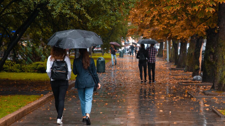
People walk on a path in the rain. (Photo: MorphoBio via Envato)
(Photo: MorphoBio via Envato)
The weekend rain helped make a dent in the October rainfall deficit. Yet it was but a drop in the bucket.
The Seattle-Tacoma International Airport (SEA) measured two-tenths (0.20) of an inch of rain from the weekend weather system, bringing the total for the month to 0.28 inches. The average monthly rainfall at SEA is just under 4 inches.
More rain is anticipated to fall later this week as another weather system sags down the British Columbia coastline during the middle of this week into western Washington. This system has the potential to drop a half inch or more of rain during its mid-week stay before conditions dry out by the end of the week.
More rain unlikely to keep Seattle from one of its driest Octobers
Even with this additional rainfall, October remains on track to be one of the driest on record in Seattle going back over 130 years.
The driest October on record was back in 1895 when weather records were measured in downtown Seattle. Only 0.02 inches of rain fell that month. The second-driest October was in 1987, with 0.31 inches measured at SEA.
Rounding out the five driest Octobers were 2002, with 0.67 inches of rain; 1936, with 0.88 inches measured downtown; and 1978, with 0.98 inches.
The additional rain at SEA as this week proceeds is quite likely to push the total for the month close to the 2002 total.
Other locations in western Washington are running well below average for rainfall this month as well. For instance, Olympia has received a meager total of 0.58 inches of rain thus far, including this weekend’s wet weather.
The driest October ever in Olympia occurred in 1917 with just 0.27 inches. The year 1987 also had a dry October with 0.39 inches measured, while 2002 had just 0.46 inches and 1978 measured 0.78 inches. The rain anticipated later this week could exceed the 1978 total.
RELATED STORIES

Mountain snow levels to drop
The midweek weather system is expected to bring much cooler air as well. High temperatures across western Washington will struggle to reach the 50s, and mountain snow levels are anticipated to reach nearly all the Cascade passes, dropping to as low as 3,500 feet later this week.
On nights with fewer clouds, low temperatures are forecast to dip into the 30s and 40s. The usually cooler locations like the South Sound and Arlington will likely drop near or below freezing, and frost conditions are quite possible. Any plantings in those colder places will need protection or to be moved indoors.
Last 6 p.m. sunset
Nights continue to get longer. The last 6 p.m. sunset of the year in Seattle will be Monday evening, Oct. 26.
Halloween outlook
Higher pressure aloft is currently expected to build over western Washington by the end of the week for drier but cool conditions.
At this point, Halloween on Saturday looks to be cool, with highs reaching into the lower to mid-50s.
Evening temperatures, though, should drop into the 40s. Trick-or-treaters should prepare for bone-chilling temperatures during their neighborhood adventures.
Ted Buehner is the KIRO Newsradio meteorologist. Follow him on X and Bluesky. Read more of his stories here.