Heat wave coming to Western Washington Tuesday and Wednesday
Jul 21, 2026, 5:30 AM | Updated: 5:41 am
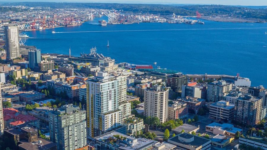
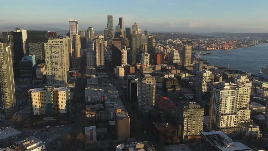
Overview of downtown Seattle on a summer day. (Photo: Bill Kaczaraba, MyNorthwest)
(Photo: Bill Kaczaraba, MyNorthwest)
July is usually the warmest month of the year, and the weather during the first half of this week is going to reflect that heat.
Higher pressure aloft over the Rocky Mountain region is expected to build toward the Pacific Northwest through Tuesday. The associated southerly flow aloft combined with weakening surface onshore flow from the Pacific Ocean will result in significant warming.
High temperatures across Washington are anticipated to warm into the 80s Tuesday and Wednesday, while the usually warmer locations will rise into the lower to mid-90s, such as south of Olympia and in the Cascade foothills.
Seattle-Tacoma International Airport (SEA) has already hit 90 degrees or better twice so far this year, both times in June. Since 2015, SEA has averaged eight days of 90 or warmer, compared to just three days during the 20th century. It is possible SEA could reach 90 again midweek but not be record-breaking.
The record high Tuesday at SEA is 100 degrees set in 1994 – the first time since weather records began more than 130 years ago that the high temperature reached the century mark. Wednesday’s record daily high is 97, established in 2006. Both of these records are quite likely to remain intact.
Urban area low temperatures the next few days are forecast to only drop into the 60s, while more rural locations will cool into the 50s.
Heat risk to rise
The combination of the hot days and warm nights will enhance health risks. The most vulnerable are the very young, the elderly, and those with respiratory and heart conditions. To find relief from the heat, visit air-conditioned facilities like large shopping malls, theaters, libraries, and other such locations.
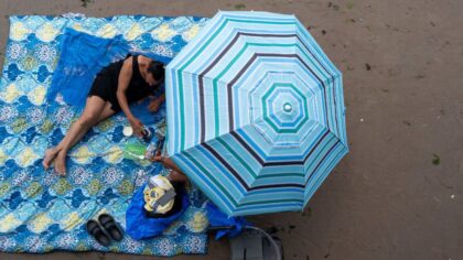
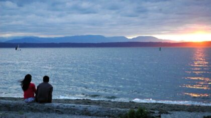
Area waterways also offer the opportunity to cool off. Keep in mind, though, that these waterways remain cold. If going on the water on either human-powered or motorized vessels, be sure to wear a life jacket for safety. Cold water immersion is a leading cause of drownings in the state.
Heightened wildfire threat
The heat will also exacerbate the ongoing dry conditions, enhancing the threat of wildfires. Last week, the season’s first roadside fire occurred along SR 525 — the Mukilteo Speedway. Be sure to keep any burning materials in vehicles and tighten tow chains to avoid sparks on the pavement that can ignite roadside fires.
Outdoor burn bans are in place for most Western Washington counties and cities. For details, visit your local fire district to learn about the outdoor burn ban. Also ensure campfires are cold before leaving the campsite.
RELATED STORIES
Wildfire smoke and health concerns
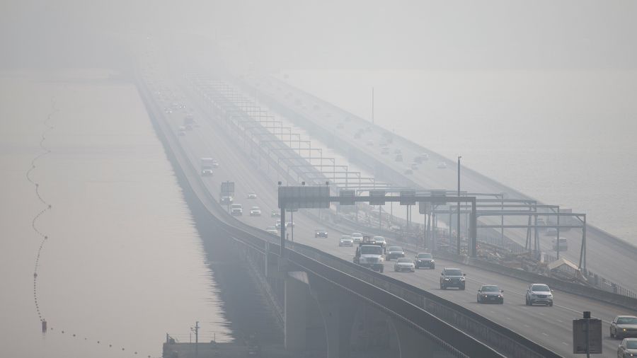
Last Thursday’s lightning outbreak involving thousands of strikes across the Pacific Northwest sparked dozens of wildfires in Oregon and Eastern Washington. The southerly flow aloft early this week is expected to draw wildfire smoke north from Oregon into Western Washington. Closer to the ground, wildfire smoke from Eastern Washington and the interior of British Columbia is also anticipated to drift into at least the northern part of Western Washington.
Air quality across Western Washington is expected to deteriorate by Tuesday and Wednesday. Use of pandemic-oriented N95 masks can help avoid breathing in wildfire smoke. For those with respiratory health concerns, this period of dropping air quality could be an issue.
Cooling later this week
This period of much warmer weather is forecast to change starting Thursday, offering relief from the heat. The high pressure aloft is expected to shift inland to the east, allowing cooler low-level onshore flow from the Pacific to increase. This weather pattern change is anticipated to bring back night and morning marine cloudiness and drop high temperatures mainly into the 70s.
This change in the weather pattern, though, is not expected to result in rainfall heading into the weekend, yet some local areas could get some drizzle in the mornings.
Heading into August, this rollercoaster of Western Washington summer hot days followed by a cool down, then warming up again is quite likely to continue.
Ted Buehner is the KIRO Newsradio meteorologist. Follow him on X and Bluesky. Read more of his stories here.