January dry stretch could push western WA towards record-warm temperatures
Jan 13, 2026, 6:06 AM
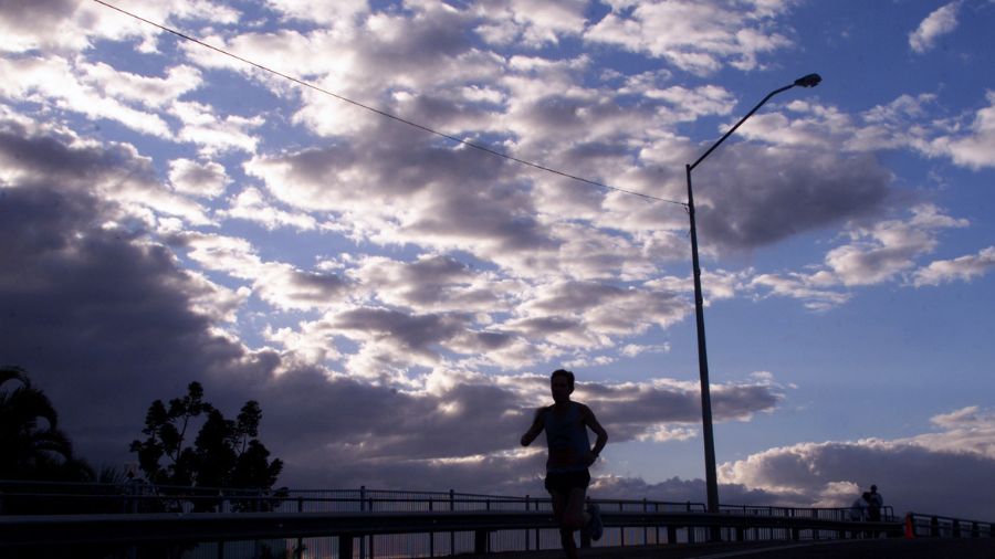
An individual goes for a morning jog. (Photo: Jonathan Wood, Getty Images)
(Photo: Jonathan Wood, Getty Images)
Here goes another period of dry weather during the month of January. Strong high pressure aloft is forecast to build over the Pacific Northwest coastal region starting Tuesday and direct the Pacific storm track well north through at least until the early part of next week.
Current weather forecast guidance points toward a seven or eight-day period of dry weather. Freezing levels will be above 10,000 feet, creating a warm cap over cooler conditions across the lower elevations of western Washington. This temperature inversion is expected to enhance the development of fog and low clouds, and a rise in air stagnation is expected over the next few days.
Air quality readings this week will likely rise to moderate levels and, in some areas, hazardous for sensitive groups, meaning those with existing respiratory conditions should take extra precautions.
By the end of the week, enough low-level offshore flow from the interior of the region toward the ocean will develop to erode the fog and low clouds, revealing more sunshine.
Tuesday is anticipated to be the warmest day with highs climbing well into the 50s, with a few locations perhaps cracking the 60-degree mark. The record high at Seattle-Tacoma International Airport (SEA) for Jan. 13 is 58 degrees, set in 1958. Olympia’s daily record high is 57 degrees, set in 1994. The average high temperature in mid-January is in the mid-to-upper 40s.
Later in the week and into the coming weekend, high temperatures are forecast to moderate to around 50 degrees with lows dipping into the 30s.
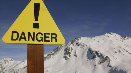
For mountain snow enthusiasts, this period of dry weather does not bode well for additional mountain snow, and freezing levels above 10,000 feet will likely chip away at the current snow pack.
RELATED STORIES


Previous dry January periods
There have been several extended dry periods in the month of January thus far this century. The previous one was just last year, with no measurable precipitation at SEA for 13 days. Last January, the month finished with nearly four inches of rain below average, starting what turned out to be a dry 2025. SEA finished the year just over six inches below average despite the wet month of December.
Last month was also the third-warmest December on record, finishing with an average temperature of 45.2 degrees, just shy of the warmest month ever, 45.5 degrees in 2023.
Back in 2013, SEA had a streak of 12 dry days in January, 2009 had an 11-day stretch of dry weather, and both 2014 and 2022 had nine-day runs of dry conditions.
This January 2026 period of dry weather is quite likely to join this group of seemingly unusual dry periods during what is often considered a wet month.
In comparing the phases of El Niño, La Niña, and Neutral conditions, involving above, below, or near-average eastern Pacific sea surface temperatures, respectively, these extended periods of dry weather in January show no significant correlation with these phases.
This winter season is a weak La Niña. Most La Niña winters tend to be cooler and wetter than average. So far this month has been wetter than average. SEA is about two inches above average to this point in the month. During this period of dry conditions, though, the month’s rain total is likely to drop to near or even below normal. The average rainfall at SEA for the entire month of January is 5.78 inches.
When will the dry weather end
Current extended weather forecast guidance suggests this extended January dry period may end around the middle of next week. That turn in the weather may also involve a surge of colder air into Western Washington from the interior of western Canada, with a threat of lowland snow. This change in conditions will bear watching.
In the meantime, enjoy this period of dry weather with January sunshine. Days are also growing longer. The first 5 p.m. sunset in January is just a few weeks away, coming on Jan. 25 —something to anticipate.
Ted Buehner is the KIRO Newsradio meteorologist. Follow him on X and Bluesky. Read more of his stories here.