Seattle’s recent cold spell pales in comparison to PNW’s coldest winter on record
Jan 30, 2026, 4:39 AM | Updated: Feb 2, 2026, 5:56 am

An iconic pig statue is seen covered with snow at Pike Place Market. (Photo: David Ryder, Getty Images)
(Photo: David Ryder, Getty Images)
During the recent prolonged mid-winter dry spell, the cold freezing temperatures had some saying from the holiday-season song, “Baby, it’s cold outside.”
The coldest temperatures of the year thus far, under nearly clear skies earlier this month, dropped to 18 degrees in Olympia, 26 degrees at Seattle-Tacoma International Airport (SEA), 24 degrees at Everett-Paine Field, 21 degrees at Forks, and 19 degrees at Shelton.
Yet, compared to the winter of 1949-50, those cold temperatures were mild. On January 31, 1950, the coldest temperature on record at SEA was zero degrees. In fact, the average temperature for that entire month of January was a bone-chilling 24.9 degrees. The average monthly temperature includes all the high and low temperatures during those 31 days.
RELATED STORIES
Seattle’s 36 days of bitter cold
The frigid weather actually began in the final days of December 1949 and continued until it broke and warmed up on February 4, 1950. During those 36 days, a persistent flow of sub-arctic air poured into the Pacific Northwest from western Canada, resulting in the bitter cold.
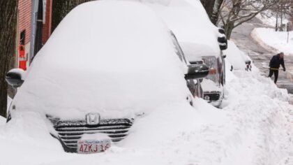
During that time period, snow fell across the region at times. At SEA, a total of 64.8 inches of snow fell. The biggest snowstorm occurred on Jan. 13 when 21.4 inches of snow fell, accompanied by bitter northerly winds up to 40 mph. Less than two weeks later, another snowstorm dumped 10 inches of snow at SEA.
Any time skies cleared between those periods of snow, overnight radiational cooling allowed temperatures to plummet. Sub-zero temperatures were not uncommon: Bellingham reached -2 degrees twice, Monroe -2 degrees three times, Olga in the San Juans -3 degrees, and Darrington fell to 11 degrees below zero once.
The snow and harsh cold created all kinds of problems. Downed trees, power outages, frozen pipes, roof collapses, and treacherous driving conditions were widespread.
The winter of 1949-1950 remains the coldest winter on record in the region. Another rough winter in the past included 1880-1881. There were no official records back then, yet it was reported that 64 inches of snow fell, resulting in roof collapses of wooden buildings, and more hazards.
Another harsh winter was 1915-1916. On February 1, 1916, the all-time single-day record of 21.5 inches of snow fell in Seattle. The two-day total was 38 inches.
Can you imagine if western Washington were to suffer through such nasty winter weather today? It has happened in the past and could happen in the future. Hence, it is always wise to be prepared for harsh winter weather conditions in advance. Winter weather preparedness information is available at ready.gov.
Ted Buehner is the KIRO Newsradio meteorologist. Follow him on X and Bluesky. Read more of his stories here.