
Spotty lowland snow looming for Snohomish County tonight
Feb 26, 2024, 6:31 AM | Updated: 6:44 am
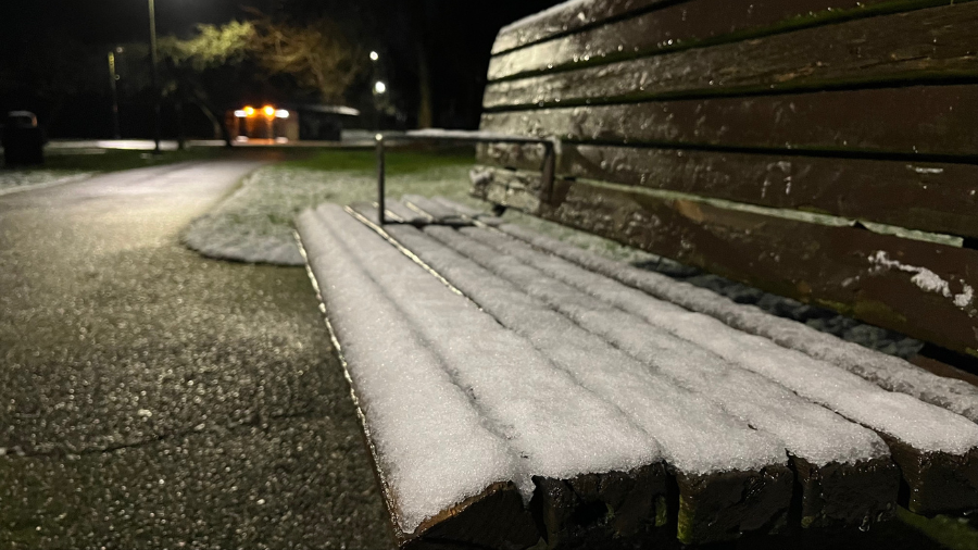
Snow resting on park bench before melting in the morning. (Photo: Sam Campbell, KIRO Newsradio)
(Photo: Sam Campbell, KIRO Newsradio)

The chance of snow in the lowlands and foothills of Snohomish County continues to grow throughout the week, according to the National Weather Service (NWS).
There is a better than 70% chance of snow or a snow-rain mix through Tuesday night before it turns into just a steady downpour for the rest of the week. The NWS even issued a winter weather advisory through 10 a.m. today due to hazardous weather conditions.
“The snow level is around 500 feet, but will absolutely drop if any showers are heavy enough, say in a convergence zone or any stronger showers,” Nick Allard, meteorologist for KIRO 7, stated. “There was some thunderstorm activity overnight and there could be more, with your best bet at the coast. When you head out, you should expect a shower or two if anything, with more showers possible in Snohomish County in a lingering convergence zone.”
Snowing hard right now. 1-3″ of snow for Snoqualmie on Monday with another 2-4″ overnight. Up to 2″ down to Cle Elum Monday night.https://t.co/LwXcq6nJju
📸: From the night crew. pic.twitter.com/cFxgqIdKoj
— Snoqualmie Pass (@SnoqualmiePass) February 26, 2024
More on thunderstorm season in WA: With March around the corner, thunderstorm season is fast approaching
Still, Allard doesn’t expect much more than slush or a brief dusting of snow this time around. The chances of snow actually sticking would be closer to the Cascade Foothills or near North Bend.
“Most of us will just see spotty rain showers with the occasional wet flake mixed in, if that,” Allard continued. “Snohomish County will see the convergence zone linger and tonight it could drop some more slushy minor accumulation into the overnight hours.”
In Snohomish, tonight’s low is expected to hit 29 degrees — giving the region a good chance for snow. The day’s low jumps up Tuesday and Wednesday night, expecting to reach 36 and 37 degrees, respectively.
According to Fox 13, the Willapa Hills in Southwest Washington could see snow totals reaching two to six inches throughout the day on Monday.
For Seattle, tonight’s low dips to 33 degrees with a minimal chance of snow before rising to at least 35 degrees for the next approximate two weeks. Similar to last weekend though, winds will be strong, peaking around 4 to 7 p.m. Gusts are expected to reach 20-35 mph throughout Western Washington — including Seattle — while Whidbey Island, the Admiralty Inlet area, Everett and the Cascades could face gusts of 35-45 mph. Power outages could occur as a result of strong winds.
More on power outages in Western WA: Thousands affected by power outages in Seattle, Snohomish County
While no schools have closed over this bout of snow, schools in Lake Stevens, Snoqualmie, Sultan and Port Angeles have either delayed their start times or opened up their snow routes for transportation. For more on school closures and delays, follow here.
February is the second-most common month for snow in Seattle, averaging 0.9 inches of snow, according to Best Places. For the year, Seattle averages 4.6 inches of snow, with almost half coming in December.
The latest recorded snowfall in Seattle was April 19, but that occurred 97 years ago.
Frank Sumrall is a content editor at MyNorthwest. You can read his stories here and you can email him here.












