
Storm system headed for western Washington as summer fades
Aug 28, 2026, 12:26 PM | Updated: 3:14 pm
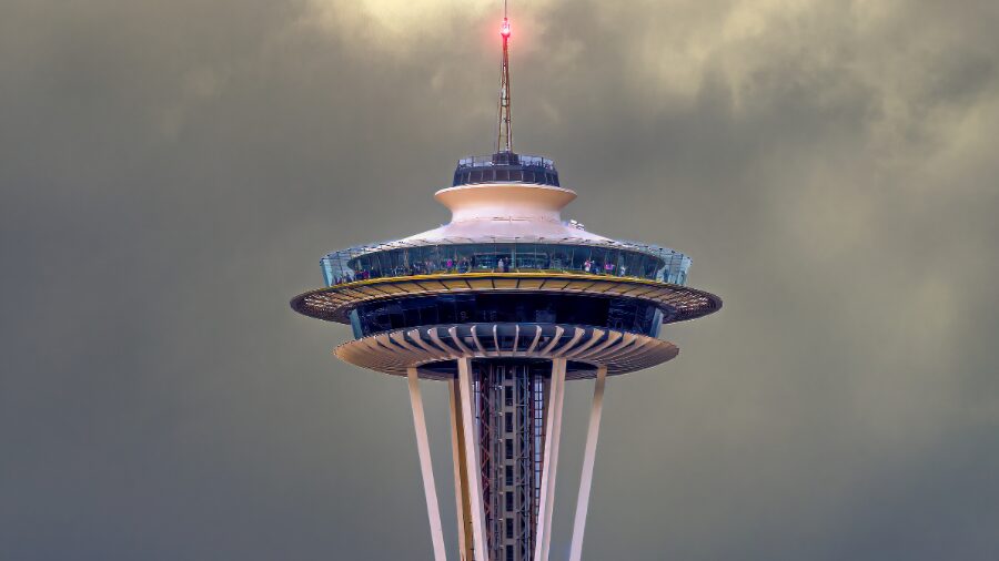
The famous Space Needle tower rises into the sky with an overcast, grey backdrop. (Photo: zoomsbyooms via Envato)
(Photo: zoomsbyooms via Envato)
The sun slipped below the horizon at 8 p.m. this week for the first time since mid-April — a sign that our summer days are numbered.
Western Washington hasn’t seen measurable rain in nearly a month, but that’s about to change. Showers are expected to return late Friday night and linger into Saturday, with temperatures dipping into the low 70s, a few degrees below average for late August.
Sunday and Monday should bring a brief dry window before a bigger system arrives around midweek. National Weather Service meteorologist Dev McMillian said it will deliver “a decent shot of widespread rainfall and even cooler temperatures that will make it feel a touch like fall.”
RELATED STORIES
Don’t put a fork in summer just yet
The Olympic Peninsula is likely to take the biggest hit, with potentially more than an inch of rain between Wednesday and Thursday, McMillian said.
“I don’t want to put a fork in the summer just yet,” McMillian said. “But I will say as we go into the middle of next week, get the pumpkin spice lattes ready.”
High temperatures could struggle to reach the upper 60s by Saturday, and the cooldown won’t stop there.
Average temperatures typically slide into the mid-60s through September, and the longer-range outlook favors a wetter-than-normal stretch into early fall.
Read more of Aaron Granillo’s stories here.
Follow @https://twitter.com/aaronkirofm













