Washington’s snowpack falls short again, raising drought concerns
Apr 3, 2025, 4:45 AM

A skier ski-ing down The Slot snow slope on Snoqualmie Peak in the Cascades range, Washington state, USA. (Photo from Mint_Images)
(Photo from Mint_Images)
April 1 usually marks the peak of the mountain snowpack season, but similar to last winter, this year’s snowpack fell short of average, leading to greater concerns for water supply access.
The Northwest Avalanche Center released its latest mountain snow depth statistics as of April 1. In the Olympic Peninsula, Hurricane Ridge had 76 inches of snow on the ground, which is close to 75 percent of the average. According to the Natural Resources Conservation Service, the water in that snowpack was near 95 percent of the normal.
The snowpack in the Cascades varied quite a bit. Mount Baker reported 148 inches of snow, or close to 90 percent of the average, but the water in that snow was only 74 percent of normal.
The central Cascades found Stevens Pass with six feet of snow and Snoqualmie Pass with five feet, both just shy of 75 percent of the average water equivalent.
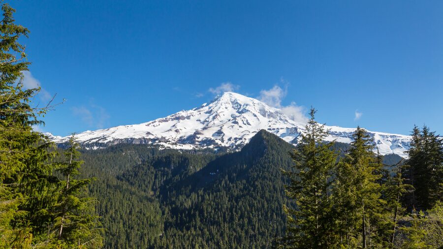
The southern Cascades fared much better for snowfall. Crystal Mountain had seven feet of snow on the ground, close to 110 percent of normal. Paradise on Mount Rainier had 164 inches, and White Pass had 56 inches, both 95 percent of the average. The water equivalent in this region’s snowpack was between 80 and 110 percent of normal.
With mountain snowpack seasons below average two years in a row, greater strain will be placed on water supplies for the upcoming summer and fall.
Drought status
According to the latest Drought Monitor, the Cascades and much of the Puget Sound region are abnormally dry or in moderate drought status. In the Puget Sound area, most locations, including Olympia and Seattle-Tacoma International Airport (SEA), are about three to five inches below average for the year thus far, despite March being wetter than normal.
The coastal region is also drier than normal. Hoquiam is about four inches below average for the year, while Forks is nearly a whopping 13 inches below average.
The state of Washington has not declared a drought emergency at this point, yet the situation is being closely monitored. By state law, a drought emergency is when a lower-than-average precipitation and water supply condition threshold is reached.
For a part of the state to be considered in a drought, that area must be below or projected to be below 75% of normal. This water shortage is likely to create undue water supply stress.
Unless the remainder of spring is cool and wet, mountain snowpack will be depleted much earlier than usual, leaving a smaller water supply for agriculture, power generation, fish, and water consumption later this year.
Spring weather outlook
The latest outlooks for the rest of this month fail to point toward cool or wet conditions.
Starting later this week, temperatures are expected to climb above average, with some locations cracking the 70-degree mark.
By Sunday and into next week, rain is forecast to return with mild temperatures and relatively high mountain snow levels.
This trend is expected to continue for much of the rest of the month.
Wildfire and smoke concerns
RELATED STORIES


A less-than-average mountain snowpack usually means it melts off sooner than typical. What is called ‘green-up’ follows as ground vegetation grows. By mid-summer however, that vegetation dries out, setting up an environment more conducive to wildfires.
In 2023, Western Washington had more fire starts than Eastern Washington for the first time ever, according to the Washington State Department of Natural Resources. Since 2017, the Puget Sound region has experienced poor air quality from wildfire smoke in six of the last eight summers.
The weather in April and May could help adjust the outcome of this dry situation, but the upcoming summer and fall are pointing towards concern as low water supply, wildfires, and wildfire smoke are on the horizon once again.