After weeks of flooding, winter weather finally stabilizes western WA
Dec 22, 2025, 6:09 AM | Updated: 2:49 pm

Light snowfall in Bonney Lake last winter. (Photo courtesy of KIRO 7)
(Photo courtesy of KIRO 7)
Winter started with the solstice on Sunday morning, Dec. 21, at 7:03 a.m. Monday, Dec. 22, is the first full day of winter, even though it’s felt more like winter for the past two weeks.
The warm, wet weather pattern going back to Dec. 8 made a significant change late last week. Much cooler, yet seasonable weather has taken hold. Snow levels have plummeted to well below mountain pass highway levels, bringing an end to any further rain runoff into Western Washington rivers.
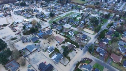
As a result, all area rivers have receded below flood stage, including the water-soaked south King County area surrounding the Green, White, and Cedar rivers. The only remaining river lingering just above flood stage until Wednesday, Dec. 23, is the Skokomish River in Mason County.
Storm clean-up and damage assessment are underway. Visit your county emergency management webpage for information on where storm damage debris can be delivered, as well as where to report damage assessments for homes and businesses.
Damage assessment information will be a key element in applying for a disaster declaration, which, once signed by the president, will release federal resources to help communities more fully recover from this flood, wind storm, and landslide disaster.
RELATED STORIES

What weather lies ahead
This cooler weather pattern is on tap to continue through at least the end of the year, with no sign of any return of that warm, soggy weather pattern.
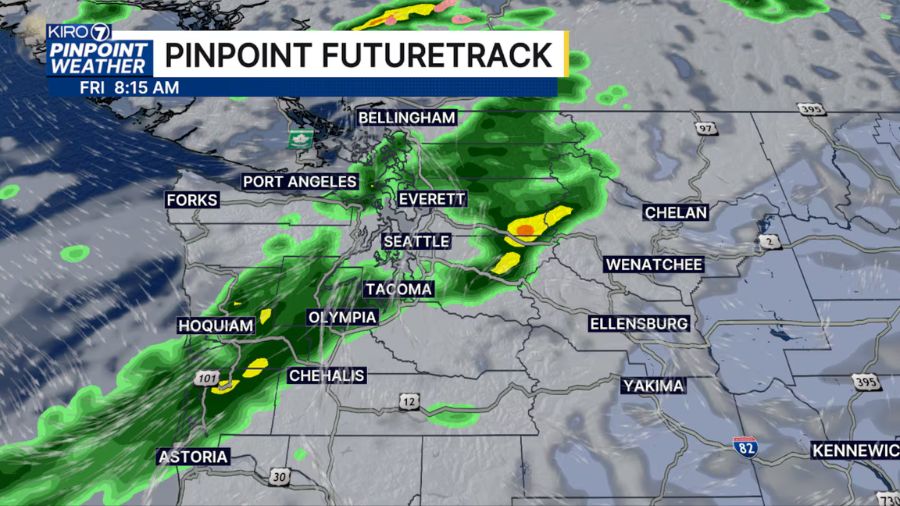
Much quieter weather is expected through Christmas Day, with scattered light showers at times and mountain snow levels of 2,000 to 3,000 feet.
White Christmas?
For those who desire a White Christmas, the mountains will be the place to be. In the lowlands of Western Washington, high temperatures will be in the 40s with lows in the 30s. If there is any snow on the ground in the lowlands, the best chance would be in parts of Western Whatcom County and in the foothills.
Mountain weather – ski areas open
For those with plans to drive over the Cascade passes for the holiday period, snow levels will remain at or below all highway passes this week. Road crews will help keep roadways clear, yet be prepared for winter weather driving conditions. Remember, the Stevens Pass Highway is closed between Skykomish and Leavenworth until further notice, thanks to storm damage, leaving I-90 Snoqualmie Pass and US 12 White Pass as the only cross-Cascade highways open.
Since the big weather pattern change late last week, the mountains have picked up between one and three feet of new snow. White Pass has received more than 30 inches of new snow since Friday.
Several ski areas have finally opened up, including White Pass, Crystal Mountain, and Mt. Baker. Snowfall this week is forecast to offer several inches each day. Other ski areas will likely open up soon.
January to March outlook
The latest seasonal weather outlook heading into the first few months of the New Year reflects a typical La Niña pattern, with cooler and wetter-than-average conditions. This trend is good news for building up a healthy mountain snowpack.
It also means there will be a better chance of snow in the lowlands of Western Washington, particularly during January into early February. Stay tuned!
Ted Buehner is the KIRO Newsradio meteorologist. Follow him on X and Bluesky. Read more of his stories here.