
All Over The Map: How Kittitas, Klickitat and Lewis counties were named
Oct 1, 2021, 10:59 AM | Updated: Oct 6, 2021, 12:56 pm

All Over The Map’s county origins series took the summer off, but now that the University of Washington is back in session, it’s time to get back to work on our 13-part effort to explore the histories of counties and county seats in the Evergreen State. The three counties featured in this installment are Kittitas, Klickitat, and Lewis.
Kittitas County
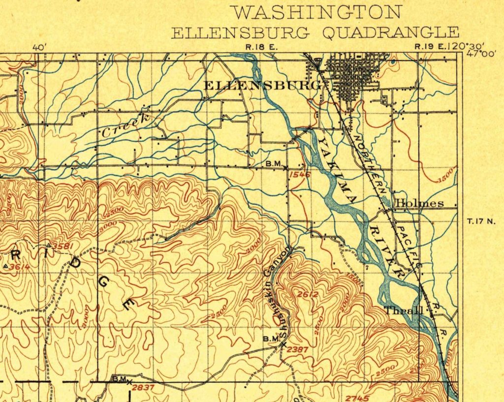
Kittitas County was created by the Territorial Legislature from the northern portion of Yakima County on Nov. 24, 1883. According to place name scholar Robert Hitchman, the name Kittitas comes from “the Indian word K-tatus meaning ‘gray gravel bank’; [and] it refers to an extensive gravel bank on a river shoal near Ellensburg” – which is assumed to be on the nearby Yakima River.
Ellensburg is and always was the county seat, though it was originally spelled with an “h” at the end. The community was settled in 1867, and the post office was established in 1880 with “Ellen’s Burgh,” honoring the middle name of co-founder Mary Ellen Shoudy. For those to whom it matters, the “h” was officially removed from the town’s name by the Postmaster General in 1894.
With its relatively central location when considering all of Washington, Ellensburg – along with other places such as Walla Walla – once coveted the state capitol. In the years before Kittitas County split off from Yakima County, a rivalry had been developing between Ellensburg and Yakima (which was then known as North Yakima). In 1889, the year of statehood, when a ballot measure was floated to try and move the capitol of the new state from the existing territorial capitol of Olympia, Olympia prevailed with a bit more than 25,000 votes. But, Ellensburg and North Yakima – if the total votes for each, separately, were combined – got more than 27,000 votes. Pundits at the time pointed out that if the two rivals had worked together and proffered just one of the two cities on the ballot, the state capitol might, in fact, have been moved east of the mountains.
Klickitat County
Klickitat is an Indigenous name for people who predate the arrival of European settlers by millennia. Klickitat County was created by the Territorial Legislature on Dec. 20, 1859, from part of the early (and very large) Clark County along the Columbia River in the southern portion of central Washington Territory. In the original legislation, the name was spelled with a “C” – as in “Clickitat,” or sometimes “Clicitat.”
According to multiple histories of the area, creation of Klickitat County was not a cause for celebration. The 15 settler families then living within the boundaries did not want the new county organized because they didn’t want to pay taxes required to fund a handful of appointed positions, such as county clerk and county sheriff. The reluctant Klickitat County inhabitants ignored the legislature for a year or so, but a county seat was eventually established on the land claim of settler Alfred Allen at a place known as Rockland Flats.
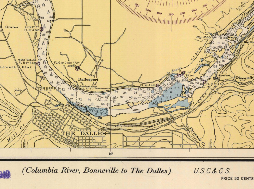
Rockland Flats was located along a bend in the Columbia River across from Fort Dalles. The settlers were mostly livestock farmers, and some also cut and sold firewood to steamboat operators on the river. The livestock farmers there and in much of what’s now Eastern Washington and Oregon were decimated by the record snows and cold of the winter of 1861-1862.
The county was organized again by the Territorial Legislature in 1867 and, this time, a building was actually rented at Rockland to serve as a courthouse. Somehow or other, “Flats” had been dropped from the town’s name along the way.
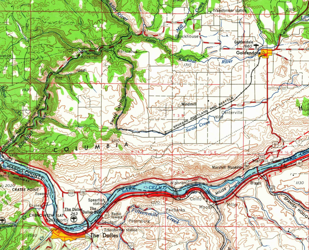
Meanwhile, residents had gradually warmed to the idea of being a county, and certain individuals began to appreciate the value of a community being the county seat – for the resources, infrastructure and increased traffic and commerce. In September 1871, a man named John J. Golden bought some land about 30 miles east of Rockland. In 1872, Golden platted a town which he, perhaps modestly, named Goldendale.
In November 1872, an election was held whereby ambitious Goldendale (and probably Golden, too) tried to snag the county seat away from Rockland. The effort failed by one vote – 78 to 77. But, six years later, Goldendale tried again. This time, John J. Golden’s bustling community prevailed by margin of 5 to 1. Four months later, the sheriff moved all the official materials from Rockland to Goldendale, and Goldendale has been the county seat ever since.
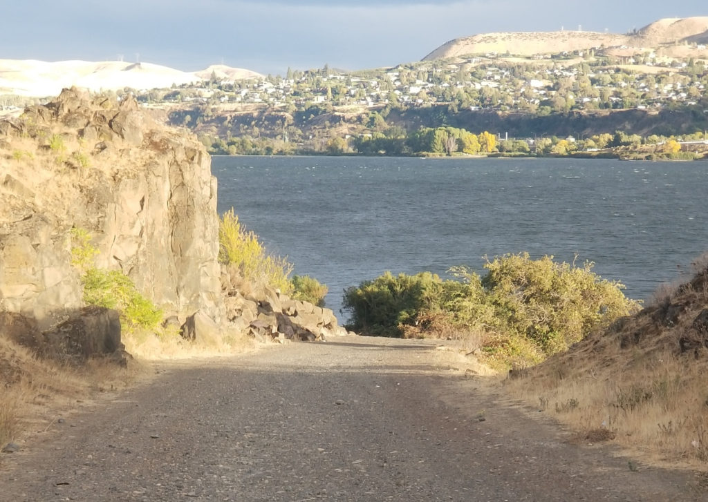
And what became of Rockland? That name, the origins of which are not clear, no longer appears on any maps. From early on, the prosperity of the riverside community was always closely tied to its proximity to the growing town of The Dalles, Oregon, on the other side of the Columbia River. A ferry connected Rockland to The Dalles from very early in its history until The Dalles Bridge was built in the early 1950s. The name for the city of The Dalles, according to Oregon Geographic Names compiler Lewis MacArthur, “is derived from the French word dalle, meaning flagstone, and was applied to the narrows of the Columbia River” upriver from the city.
To make this cross-river connection clearer, “Rockland” was dropped, and the town became North Dalles, and then Grand Dalles. Finally, in 1937, it became what it’s still called today: Dallesport.
A Dallesport resident named Chad Baxter told KIRO Radio on Thursday that there’s no evidence left of the former name of Rockland, and there’s nothing that would offer any clue that the town was once the county seat – replete with rented courthouse – for two decades 140 years ago.
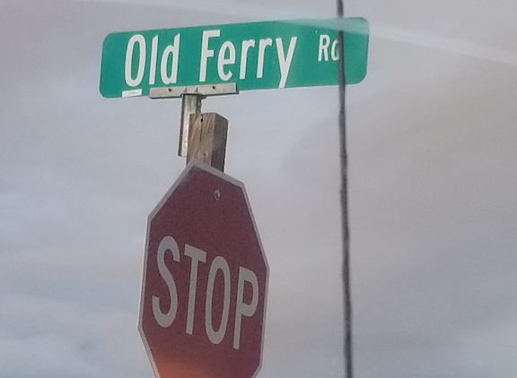
However, there is still evidence of Dallesport’s connection to The Dalles. Baxter shared photos of the sign for “Old Ferry Road,” which still goes right down to the river bank, where old pieces of concrete that might be remnants of the ferry landing still remain as silent witness to the history of Dallesport – and of Rockland, and Rockland Flats, too.
Lewis County
Like the giant Clark County from which Klickitat County was carved, the creation of Lewis County predates Washington Territory. It’s named for Meriwether Lewis of the Corps of Discovery, and it actually predates Oregon Territory, too, because it was created Dec. 21, 1845, by the Oregon Provisional Government. That was the group of DIY bureaucrats who couldn’t wait for the United States and Great Britain to settle the boundary at the 49th parallel – which didn’t happen until six months after Lewis County was created.
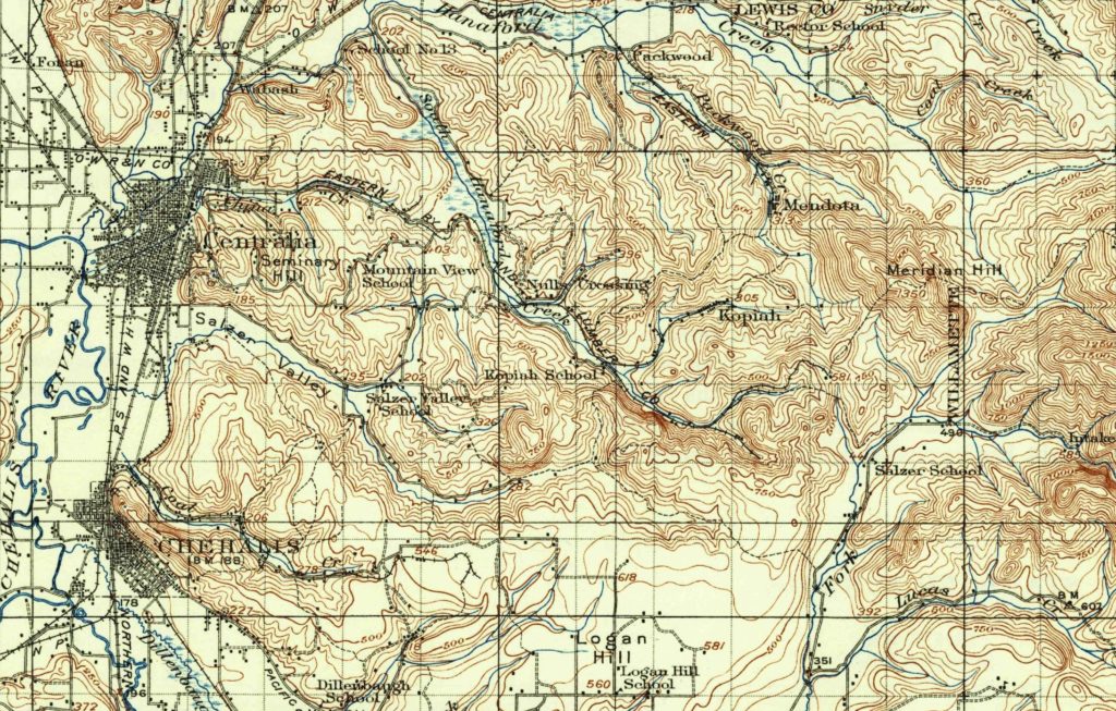
The county seat is Chehalis. Edmond Meany writes that the land where Chehalis now stands was part of a claim belonging to S. S. Saunders and his wife, and was founded in 1873 as Saundersville — “Saunderdale” just doesn’t have the same ring to it. According to Hitchman, the name was changed to Chehalis by Northern Pacific Railroad officials in 1874. The reason for the change is unclear.
And speaking of clarity, as reported in the fifth installment of this series, “Chehalis” is an indigenous word related to “sand” or “shifting sand,” and Grays Harbor County in Southwest Washington was originally called Chehalis County; the name was changed by the state legislature in 1915.
Though parts of many other counties were ultimately carved from Lewis, it’s still one of the largest counties in the state at more than 2,400 square miles.
On the next installment, we’ll look at Lincoln, Mason, and Okanogan counties.
You can hear Feliks every Wednesday and Friday morning on Seattle’s Morning News, read more from him here, and subscribe to The Resident Historian Podcast here. If you have a story idea, please email Feliks here.


