
Wind advisory ends after gusts reached 50 mph in Western WA
Nov 13, 2024, 9:00 AM | Updated: 9:18 am
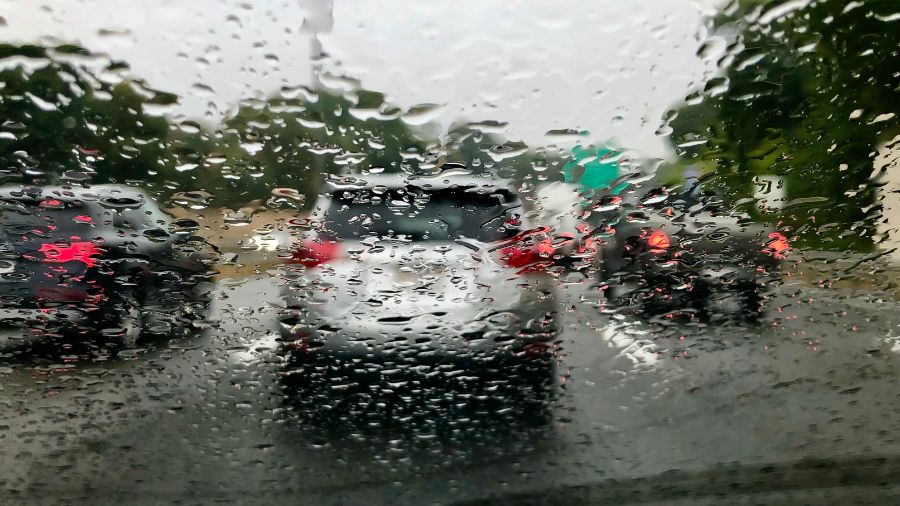
Rain covered windshield on a car driving during a morning commute. (Photo: John Tlumacki, Getty Images)
(Photo: John Tlumacki, Getty Images)
A wind advisory was issued for Western Washington from the National Weather Service and local meteorologists from 4 p.m. Tuesday to 4 a.m. Wednesday.
The alert warned of strong winds and heavy rain that could lead to potentially damaging wind gusts and flooding. At approximately 1 a.m. Wednesday morning, the National Weather Service said peak gusts reached 66 mph in Hoquiam, 54 mph in Olympia, 51 mph at Whidbey Island and 46 mph in Bellingham.
The worst of the wind has since passed as Wednesday’s morning grew on, but steady rain persists.
Butter safe than sorry: FDA recalls nearly 80,000 pounds of Costco product
“The weather system is anticipated to start spreading rain onshore Tuesday night, turning to showers by Wednesday afternoon,” KIRO Newsradio meteorologist Ted Buehner said. “The showers mixed with sun breaks will extend into Thursday, tapering off Friday.”
As of 4 a.m., more than 9,500 customers were without power across Western Washington, according to KIRO 7. Most of the power outages were in Lewis and Mason counties. After one hour, the number of outage dropped to approximately 4,000.
Wind gusts this afternoon are expected to stay between 20 and 30 mph Wednesday afternoon. This afternoon will still have showers, but also a few breaks of sunshine too.
“Downpours of blustery rain will move inland from the coast, and there is the chance for isolated thunderstorms, too,” KIRO 7 meteorologist Nick Allard said. “The risk of thunderstorms is greatest near the Pacific beaches where there is a risk for waterspouts we’ll be watching on Wednesday. Tidal flooding is not expected around the Sound.”
MyNorthwest Politics: WA crowns Seattle Democrat as next Senate Majority Leader
River flooding is expected only on the Skokomish River, the region’s most flood-prone river, but all rivers and streams will be running higher and faster than usual. The coast could see four to seven inches of rain, the Cascades three to six inches and Western Washington interiors from one to 2.5 inches of rainfall.
Mountain snow levels will start the week relatively high, ranging from about 4,000 to 5,000 feet. By Friday, snow levels are expected to drop below all mountain passes, close to 2,500 feet. Higher elevation slopes may get a foot or more of fresh snow through the week. Motorists should be prepared for snow on the roads as snow levels fall by the end of this week.
Contributing: KIRO 7
Bill Kaczaraba is a content editor at MyNorthwest. You can read his stories here. Follow Bill on X, formerly known as Twitter, here and email him here.













