Strange mile marker sign along State Route 525 explained
May 18, 2017, 4:26 AM | Updated: 8:38 am

Chris Sullivan explains what this sign along SR 525 means. (Chris Sullivan/KIRO Radio)
(Chris Sullivan/KIRO Radio)
A mile marker sign along State Route 525 has been turning heads since it was installed.
RELATED: Not so fast, I-405 off-ramp bypassers
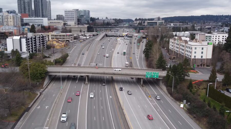
Pat Ringe, KIRO Radio Listener and VP of Operations at Diamond Knot Brewing, asked me to investigate the odd mile marker sign along the northbound direction of Highway 525, just north of the I-5/I-405 split in Lynnwood. It reads, “Mile 1.57 ahead. 1.47 back.”
Luckily, Travis Phelps with the Washington State Department of Transportation, has an explanation.
In short, “We get these funky mileposts when things change.”
So what changed? When State Route 525 was first built, there was no interchange with Highway 99 heading into Mukilteo. Phelps said when that interchange was added years later it actually shortened the highway by one-tenth of a mile but only in the northbound direction.
So why bother with a tenth of a mile? Why even put a mile marker there? Most of us really don’t use mile markers anymore. Sure they give you a general idea of where you are on a road, but why was this odd sign necessary?
Phelps said the mile markers are really there for internal use by the state. They are used for engineering purposes and they are in a variety of databases.
It turns out, accounting for that tenth of a mile can be really important.
“Imagine you’re in charge of paving this stretch of roadway,” Phelps asked. “Suddenly you are paying for a tenth of a mile that no longer exists, and that might not seem like anything big, but if you did that on every single project where something changed, overall that little bit of paving is going to add up to some serious bucks sooner or later.”
It was cheaper to just add this one sign than re-calibrating and putting in adjusted mile markers along the entire 30 mile stretch of 525 and changing the databases.
Tell Chris about a Chokepoint or ask a traffic question @kirotraffic via Twitter.