Expect ‘measurable’ rain throughout Western WA all week to kick off new year
Dec 30, 2024, 6:06 AM

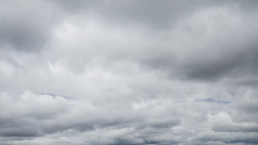
A street is flooded by a storm on Aug. 6. (Photo: Miguel J. Rodriguez Carrillo, Getty Images)
(Photo: Miguel J. Rodriguez Carrillo, Getty Images)
Since mid-December, it has been relatively mild and wet in Western Washington (WA). The average high temperatures this time of year are in the mid-40s, and with the exception of only four days, each of those days has been in the 50s in the Puget Sound region. Nearly every day has also had measurable rain.
Higher pressure aloft is forecast to build over Western Washington on Monday and Tuesday. As a result, scattered showers on Monday are anticipated to taper off by Tuesday with sun breaks, serving as a break in the several weeks-long active weather pattern.
For the Western Washington interior, the drier weather is expected to hang in there through midnight on New Year’s Eve. Temperatures after sunset should be in the lower 40s for those celebrating outdoors.
More on MyNorthwest weather: National Weather Service issues winter storm watch over the passes
In the meantime, the active weather pattern is forecast to resume with the first of the next series of Pacific weather systems to spread rain onto the coastal region on the evening of New Year’s Eve. The rain is expected to spread into the interior by dawn on New Year’s Day Wednesday.
The rain is anticipated to turn to scattered showers with sun breaks on Thursday before the next weather system arrives Friday for additional rainfall.
High temperatures this week will tend to be more seasonal, climbing only into the 40s, while lows are expected to range from the mid-30s to lower 40s.
In the mountains, more snow is expected. Snow levels to start the week will be between 2,000 and 3,000 feet, gradually climbing to 4,000 feet Friday. For motorists heading home from the holidays or visiting ski areas, anticipate ongoing winter weather driving conditions for all the Cascade passes.
More from Ted Buehner: The rain is here, the snow is coming, El Niño has the regional weather humming
The next series of high tides will greet the New Year as well. Elliott Bay high tides on the tide charts will range from 12.5 to 12.8 feet during the first few days of the year. With no “strong” weather systems forecast to swing onshore, the threat of coastal flooding for low-lying areas from the outer coast to Puget Sound should be minimal, yet bears watching.
Drier weather will wrap up 2024 in Western Washington, yet lowland rain and mountain snow will greet the New Year. Happy New Year!
Ted Buehner is the KIRO Newsradio meteorologist. You can read more of Ted’s stories here and follow him on X