Is summer gone already? Rain hangs around throughout the week
Aug 20, 2024, 1:30 PM

Rain falls in Seattle's Eastlake neighborhood. (Photo: Bill Kaczaraba, MyNorthwest)
(Photo: Bill Kaczaraba, MyNorthwest)
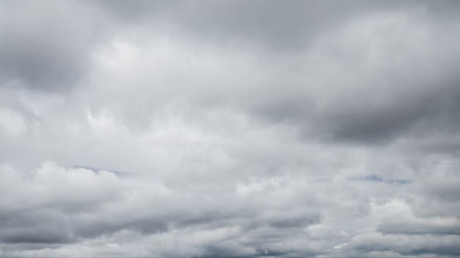
This week will maintain cooler weather with more showers in the forecast, quite the contrast from much of this summer.
The weekend offered the biggest thunderstorm outbreak in Western Washington since May 2017. Saturday’s warm weather — temperatures rose into the 70s and lower 80s — helped fuel the thunderstorms Saturday evening, highlighted by frequent lightning, bursts of heavy rainfall and blustery winds.
Some additional showers and thunderstorms arose Sunday afternoon for the western half of the region, primarily from the Hood Canal area to the outer coast.
More on last weekend’s thunderstorm: Major storm rips through Western Washington overnight
Weekend rainfall totals varied widely, ranging from about two-tenths of an inch to nearly 1.5 inches. The wettest areas were primarily east of Interstate 5 (I-5) into the Cascade foothills, with many locations reporting over one inch of rain.
The weekend showers and thunderstorms were driven by an upper-level low off the Pacific Northwest coast. That weather system is set to swing onshore through Wednesday, maintaining scattered showers through Tuesday and Wednesday, along with sun breaks. Then, another upper-level low, moving south from the Gulf of Alaska, will take its place off the coast late in the week for an ongoing threat of showers and even a thunderstorm.
High temperatures this week will remain cooler than average. The average high temperature for the third week of August is in the mid and upper 70s. This week, highs will only rise into the mid-60s to mid-70s. Low temperatures will remain mild, mainly in the 50s to lower 60s.
This month’s full moon – the Sturgeon Moon – will be out Monday night. It is also a supermoon, meaning the moon will be closer to Earth and appear more prominent than usual. Breaks in the cloud cover should permit viewing the large moon at times.
Looking ahead toward this fall and winter, the latest seasonal weather outlook for the nation, including Western Washington, was just released, reflecting a change heading into this fall.
Earlier outlook editions offered above-average temperatures and below-average rainfall through September. Now, the outlook shows equal chances of above, near, or below-average temperatures and odds in favor of above-average rainfall.
Given how warm and dry this summer has been, this new seasonal weather outlook provides better news, particularly for the threat of wildfires. The recent rainfall has helped dampen the threat of local wildfires in the short term. Yet, much of Western Washington remains abnormally dry or in moderate drought conditions. So efforts to avoid wildfire starts, such as tossing burning materials out of vehicles or outdoor burning, need to continue.
More on recent thunderstorms: Over 3,300 lightning strikes across Puget Sound during summer storm
The outlook also indicates that La Niña will return for this winter. La Niña is when sea surface temperatures in the eastern Pacific tropical waters are cooler than average, resulting in the North Pacific storm track spending more time at our latitude. La Niña winters often are cooler and wetter than average and provide a healthy mountain snowpack that was lacking during this past El Niño winter season.
The latest seasonal outlook shows that familiar La Niña pattern with increased odds of cooler and wetter-than-average conditions from late fall into spring. La Niña winters are also prone to produce lowland snow events, just like the three consecutive La Niña winters did, starting with the winter of 2020-2021.
In addition, November looks wetter than average and is also the No. 1 month of the year for flooding. Given the expected La Niña winter season, now is a good time to prepare for significant fall and winter weather. Go to ready.gov or your local county emergency management websites for helpful readiness information for your home, business and pets.
Ted Buehner is the KIRO Newsradio meteorologist. You can read more of Ted’s stories here and follow him on X, formerly known as Twitter.