Western WA bracing for wind gusts, coastal flooding this weekend
Jan 3, 2026, 6:45 AM | Updated: 7:23 am

People are caught by big waves. (Photo: Nigel Roddis, Getty Images)
(Photo: Nigel Roddis, Getty Images)

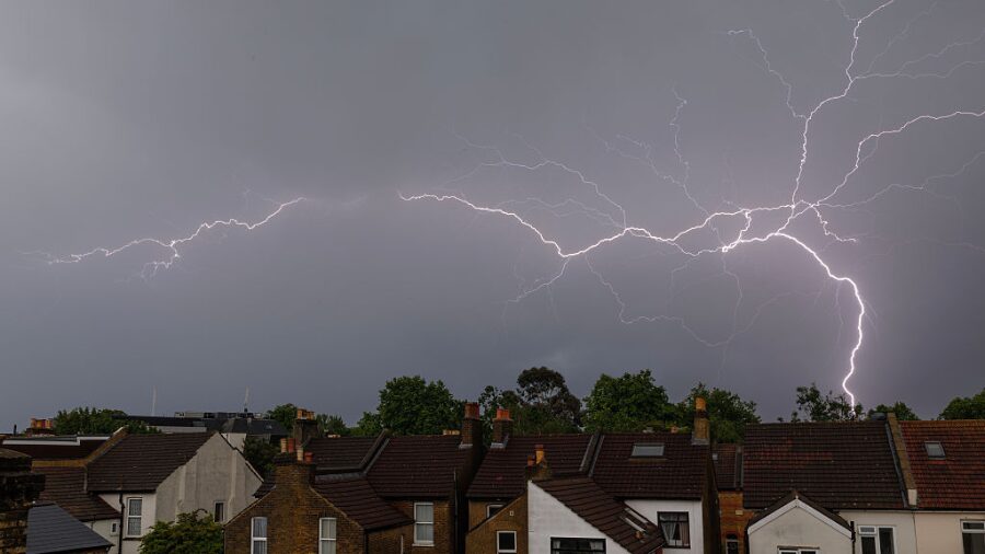
A strong weather system is forecast to move through several areas of western Washington this weekend, with wind gusts and a Coastal Flood Warning already in effect for Pacific beaches.
Abnormally high astronomical tides will induce an increased risk of coastal flooding through early next week, with minor to moderate coastal flooding expected during high tides for interior coastlines on Saturday and Sunday, the National Weather Service (NWS) announced.
Additionally, major coastal flooding is forecast along the coast near Neah Bay, Forks, Taholah, and Grays Harbor.
“Pressure, winds, and waves continue to be monitored to determine the extent weather exacerbates coastal flooding impacts on Sunday,” NWS stated.
NWS noted that it expects the Skykomish River to rise over the weekend and approach a minor flood stage on Sunday.
RELATED STORIES


Intense wind gusts forecast through the weekend
Southern winds will intensify early Saturday morning, and are expected to peak in intensity for most areas Saturday night and Sunday.
Wind gusts are expected to be the strongest along the immediate coast and from Hood Canal northwards. Gusts are forecast to range from 25 to 40 MPH in these areas.
Localized gusts of 45 MPH are expected over northern Whidbey Island, the southern San Juan Islands, and western Whatcom County.
Wind gusts elsewhere are forecast to peak between 25 and 35 MPH. NWS advised residents that wind gusts may cause localized power outages and tree limb damage.
Another weather system will bring increasing winds, steadier lowland rain, and heavy mountain snowfall on Tuesday into Wednesday.

A graphic of this weekend and next week’s weather risk outlook. (Photo courtesy of the National Weather Service)
Water levels are expected to rise to a maximum of approximately 1.5 to 3 feet above ground level for most locations throughout the weekend. Along the coast, water levels are expected to rise up to 3.25 feet on Saturday and Sunday.
Snowfall forecast for WA mountains this weekend
Throughout the weekend, snow levels in the mountains will be above 5,000 feet on Saturday, and drop to around 4,000 feet on Sunday.
Between Saturday and Monday, NWS forecasts the chance of snowfall as a percent chance of being more than six inches across several mountain locations.
- Hurricane: 45%
- Mt. Baker – Heather Meadows: 96%
- Paradise: 100%
- Rainy Pass: 60%
- Snoqualmie Pass: 15%
- Stevens Pass: 45%
- White Pass: 45%
Between Tuesday and Thursday, all of the previously mentioned mountain locations have at least an 85% chance of receiving more than six inches of snowfall.
Follow Jason Sutich on X. Send news tips here.