Winter weather advisory issued for Cascade Pass ahead of Thanksgiving travel
Nov 25, 2025, 10:53 AM

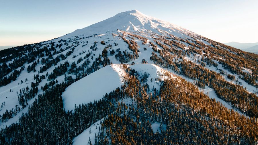
The Washington State Department of Transportation conducting a seasonal clearing of SR 20/North Cascades Highway in 2024. (Photo courtesy of KIRO 7)
(Photo courtesy of KIRO 7)
As western Washington braces for rain this week leading up to Thanksgiving Day, the National Weather Service (NWS) Seattle has issued a Winter Weather Advisory for Tuesday and Tuesday night.
“Snow is in the forecast for the Cascade passes starting TUE,” NWS Seattle stated. “Snow may change to freezing rain TUE night with wintry weather continuing into WED morning. Please check the forecast & pass conditions before departing.”
Snow levels are expected to start around 2,500 feet before rising up to approximately 3,500 feet by Tuesday evening.
“We’ll see around 3-6 inches of snow with rain mixing in on Tuesday afternoon and evening, with potentially locally higher amounts, around 4-8 inches around Stevens,” KIRO 7 meteorologist Nick Allard said. “Snow levels will continue to rise Tuesday night and Wednesday morning, though low-level wind may stay easterly and keep the lowest levels at or below freezing, at least early Wednesday. That’s something we’ll watch closely.”
If you’re heading over the mountain passes today or tomorrow, expect winter driving conditions. Snow will begin over the Cascades late this morning & over the ID Panhandle this evening. Check road conditions for WA at https://t.co/wjhddKkvnF & for ID at https://t.co/mpbokoUrYM pic.twitter.com/E4bHYZKwXu
— NWS Spokane (@NWSSpokane) November 25, 2025
To track the conditions of each pass in Washington, click here.
RELATED STORIES


Rain through Thanksgiving
In Western Washington, rain will be the rule for much of the week. By Tuesday afternoon, a Pacific weather system is expected to spread rain inland, continuing into Wednesday. Another system will follow suit on Thanksgiving Day and into Black Friday.
Over the holiday weekend, though, a change in the overall weather pattern will result in a cooling and drying trend. Temperatures early next week, by Sunday and Monday, will likely be the coldest of the season thus far, with nighttime temperatures dipping into the 30s and some outlying areas falling below freezing.
High temperatures during the week will start in the 40s on Monday and Tuesday, warming to the lower to mid-50s on Wednesday through Friday. Then the cooling trend will get underway over the weekend with highs dropping into the 40s.
In Seattle, approximately one inch of rain is expected to fall between Tuesday and Thursday.
Contributing: KIRO 7