Friday sets new record for consecutive 80-degree days in Western Washington
Jul 19, 2024, 12:45 PM | Updated: 3:49 pm
The 80s are rockin’!! I’m not talking about Van Halen, Aerosmith or Queen, but rather a record-breaking streak of 80 degrees or better in Seattle and much of the Western Washington interior.
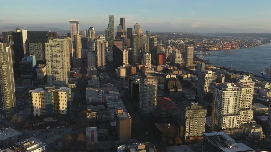
As of Friday Seattle-Tacoma International Airport (Sea-Tac Airport) has had high temperatures of 80 degrees or better starting on the Fourth of July – a string of 16 consecutive days. That stretch included four days in a row in the 90s, topped off on July 9 at 98 degrees. Olympia hit 100 degrees that day.
The average overall temperature at Sea-Tac Airport for the month, including low temperatures, is about six degrees above average – the warmest ever for the first half of July. The average high temperature has been running a whopping nine degrees above average.
Seattle forecast: Region suffering through first rainless July since 2021
The previous record for consecutive number of days reaching 80 degrees or higher so far this century was 15 in 2015. This latest run is expected to maintain that streak through this weekend, running the stretch to 18 days in a row.
Starting Monday or Tuesday next week, an increase in cooler onshore flow from the Pacific may knock temperatures down into the upper 70s. That cooler high temperature will bring the consecutive 80s streak to an end, much to the relief of those who feel the 80s or better is too hot.
In the 20th century, such 80 degrees or better consecutive day streaks reached 21 straight days twice, in August 1967 and again in July 1985.
At this point, the increase in cooler onshore flow will mean some morning marine clouds early next week, but quite likely no rainfall. This month did not have any rainfall at all. The last totally dry July was in 2021.
The last measurable rainfall at Sea-Tac Airport was back on June 27 with only two-hundredths of an inch. The last significant rainfall occurred all the way back on June 2 with approximately a third of an inch. The month of June finished about a quarter-inch below average for rainfall.
For Sea-Tac Airport and many locations across Western Washington, the rain deficit ranges from two to five inches below average for the year. The environment is dry. Abnormally dry or moderate drought conditions continue across much of the state.
More from Ted Buehner: Fire season kicked into high gear by heat wave
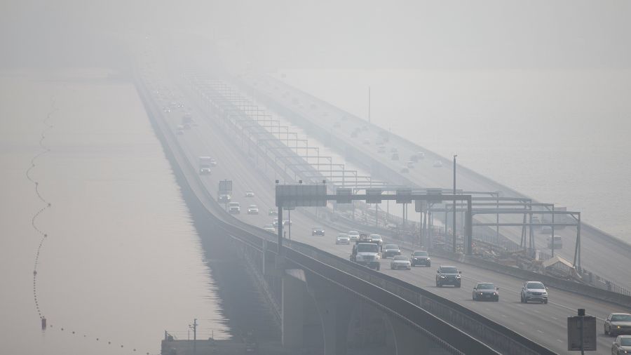
Thanks to this long dry spell, the threat of wildfires remains high. Heading into this weekend with more above normal temperatures, any fire starts can become active and spread. If camping, ensure the campfire is cold before leaving. Avoid tossing burning materials out of your vehicle and tighten those tow chains to avoid sparks while dragging on the roadway. No one wants more wildfire smoke.
If there is a coming silver lining, the latest weather outlook extending into the end of the month reflects near or below-average temperatures and an increased chance of above-average rainfall. To give perspective, average high temperatures during these few weeks in the interior of Western Washington are in the mid-and-upper 70s while the coast is in the upper 60s.
On the other hand, the calendar is entering the driest time of the year when it has rained the fewest times going back over 130 years into the 1890s — the latter half of July into early August. The folks who conduct Seattle’s Summer Festival — Seafair — must know that information.
Time will tell if this streak of consecutive days at 80 degrees or higher will continue into next week.
Editors’ note: This story originally was published Thursday, July 18, 2024. It has been updated and republished several times since then.
Ted Buehner is the KIRO Newsradio meteorologist. You can read more of Ted’s stories here and follow him on X, formerly known as Twitter.