Incoming storm could bring down tree limbs across region. And Seattle may have seen its last 80-degree day this year
Sep 2, 2026, 4:00 PM
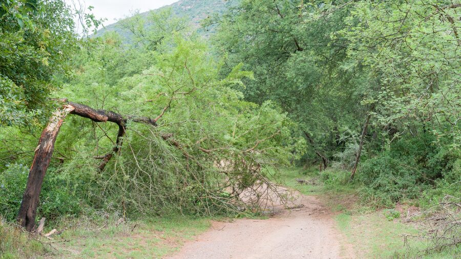
A dirt road is obstructed by a large broken tree. (Photo: dpreezg via Envato)
(Photo: dpreezg via Envato)
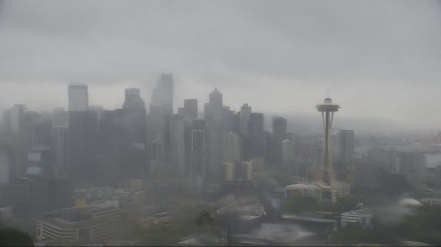
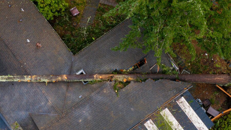
A fall storm arriving in the Seattle area Wednesday afternoon could bring down tree limbs and knock out power across the Puget Sound region, with wind gusts up to 35 mph hitting trees still carrying a full canopy of summer leaves.
KIRO 7 meteorologist Nick Allard, who joined “Seattle’s Morning News” on KIRO Newsradio to share his concerns, said the combination of gusty winds and leafy branches makes this storm more impactful than the same system would be later in the year.
“If this were three months from now, it would just be a typical Wednesday,” Allard said. “But because we still have leaves on the trees, there’s a lot of extra friction. Anything close to 40 miles per hour with a full set of leaves on the trees could cause that friction to maybe bring a limb down or something.”
The storm is also arriving on the first day of school for thousands of kids across the region, compounding the timing problem. Allard declared Wednesday a Pinpoint Alert Day, with Thursday getting the same designation.
When the rain and wind arrive
The front is sliding south out of British Columbia and was slow to push into the metro area. If conditions still looked decent during the morning commute, that’s changing fast through the afternoon.
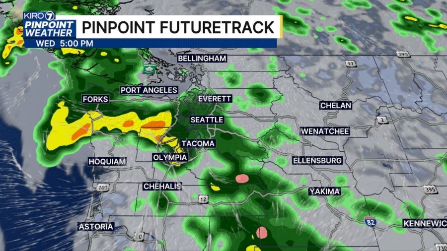
Allard said rain will reach Olympia by mid-to-late morning and the Seattle area around lunchtime or early afternoon. Most areas will see gusts in the 25 to 30 mph range, with higher gusts of 35 mph or more possible at the coast and around the Admiralty Inlet through the San Juan Islands, where wind advisories are in effect.
Meteorologist Scott Sistek of The Emerald City Weather blog told KIRO Newsradio the evening commute will take the brunt of it.
“The evening commute is probably going to be pretty blustery, wet, rainy, and windy as well,” Sistek said. “If you need to do anything outside, walk the dogs, get them out this morning before it gets here.”
Isolated thunderstorms are possible Wednesday, especially along the coast ahead of the main system. Thursday brings another round of showers with a continued chance for thunderstorms and highs stuck in the mid-60s. Friday should bring a few lingering showers before conditions improve.
Allard said the rest of Labor Day weekend looks dry, with temperatures climbing back into the low 70s.
Has Seattle seen its last 80-degree day?
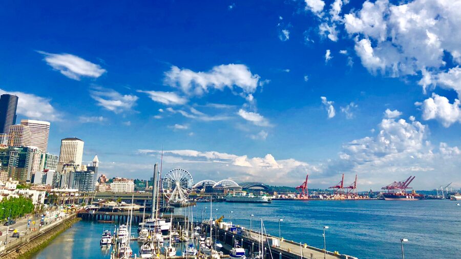
Beyond the immediate storm, there’s a longer-range question hanging over the forecast: has Seattle already hit its last 80-degree temperature of 2026? Sistek thinks it probably has.
“I’m going to say probably, but I wouldn’t give it super great odds,” Sistek said. “I think there’s still a chance out there, but it’s not going to be for a while if it’s going to happen.”
Seattle’s 10-day forecast doesn’t show anything above the low-to-mid 70s, and the pattern behind this storm isn’t any warmer.
“This storm that’s coming in now is going to be with us for several days,” Sistek said. “And then even when that gets out of here, there’s cooler air behind it.”
He explained that fall in the Pacific Northwest has a way of sneaking up on people. One cool stretch can dramatically lower the ceiling on how warm temperatures can get the rest of the season.
“It’s warm, it’s sunny, and then you just get a week of a cool pattern like this,” Sistek said. “By the time you come out of it, even though not a whole lot of the calendar has expired, a whole lot of our walk into fall has expired. So you come out of it, and our potential before the storm was 83 or whatever. Now it’s 78.”
Sistek noted a September without hitting 80 degrees isn’t all that rare. He’s looked back through the records and said it happens roughly every three to five years. So if Seattle doesn’t touch 80 again before October, it wouldn’t be a historical oddity. He did leave the door open for a late surprise, pointing out that Seattle has hit 80 as late as mid-to-late September and even into October.
“I don’t want to say 100% for the year, but it’s going to be tough,” Sistek said.
RELATED STORIES
El Niño is already warming up
While the current storm isn’t El Niño-related, Sistek said the climate pattern is already making its presence felt elsewhere. Three hurricanes are spinning in the Pacific tropics right now, which he called “very unusual” for this time of year.
“El Niño is revving up the tropics,” Sistek said. “We’re already seeing some signs of El Niño working, not necessarily up here yet, but I think it’s a sign of what’s to come.”
For western Washington, Sistek said El Niño’s influence will likely show up starting in November and running through January, when the region could see a stormier and wetter pattern than normal.
“We’re still in the preseason,” Sistek said. “But we can see them warming up out there.”
Charlie Harger is the host of “Seattle’s Morning News” on KIRO Newsradio. You can read more of his stories and commentaries here. Follow Charlie on X and email him here.