Expect more record-breaking warm weather this weekend
Jan 26, 2024, 3:08 PM

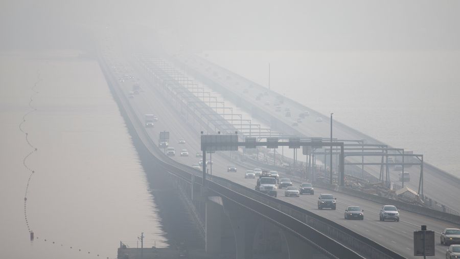
Overcast sky hangs over Seattle's I-5 highway (Photo: Frank Sumrall, MyNorthwest)
(Photo: Frank Sumrall, MyNorthwest)
Does the weather feel like it is on a yo-yo?
More than a week ago, temperatures across much of Western Washington fell well below freezing.
This week? Temperatures bounced back up to the lower 50s. Average high temperatures in late January are generally in the upper 40s.
Now this weekend and early next week, even warmer air with potential new high-temperature records will spread into Western Washington along with copious amounts of rain. An atmospheric river of warm moist air will impact the region this weekend bringing this above-average weather along with the rest of the West Coast.
More on Seattle weather: The big warm-up will stick
Rain and snow levels
Rain amounts for the next five days will be impressive with much of it falling this weekend. For the coastal region, three to five inches of rain is expected. For the interior lowlands, rain amounts will range from one to four inches. In the mountains, 5-to-10 inches of precipitation is anticipated with the highest amounts in the Olympics and northern half of the Cascades.
Sorry skiers, but snow levels will rise sharply as well. Over the weekend, snow levels should range from 7,000 to 8,000 feet. That means rain in all the Cascades passes.
Temperatures
A number of daily high temperature records will be threatened, tied or broken in the next few days. Here is a list of the current records and the latest forecast high temperature for selected locations across Western Washington.
| Saturday, Jan. 27 | Sunday, Jan. 28 | Monday, Jan. 29 | Tuesday, Jan. 30 | |
| Seatac’s highs (year set) |
58 degrees (2016) | 57 degrees (2018) | 60 degrees (1992) | 59 degrees (1992) |
| Upcoming forecasts | 55 degrees | 59 degrees | 58 degrees | 58 degrees |
| Saturday, Jan. 27 | Sunday, Jan. 28 | Monday, Jan. 29 | Tuesday, Jan. 30 | |
| Olympia’s highs (year set) |
60 (1952) | 60 (1976) | 57 (1960) | 56 (1995) |
| Upcoming forecasts | 57 | 60 | 59 | 59 |
| Saturday, Jan. 27 | Sunday, Jan. 28 | Monday, Jan. 29 | Tuesday, Jan. 30 | |
| Bellingham’s highs (year set) |
61 (2015) | 59 (2016) | 62 (1992) | 60 (1992) |
| Upcoming forecasts | 54 | 57 | 57 | 55 |
| Saturday, Jan. 27 | Sunday, Jan. 28 | Monday, Jan. 29 | Tuesday, Jan. 30 | |
| Hoquiam’s highs (year set) |
56 (1961) | 59 (2019) | 57 (2015) | 59 (1962) |
| Upcoming forecasts | 55 | 58 | 57 | 57 |
| Saturday, Jan. 27 | Sunday, Jan. 28 | Monday, Jan. 29 | Tuesday, Jan. 30 | |
| Forks’ highs (year set) |
59 (2022) | 59 (1998) | 61 (1998) | 59 (1993) |
| Upcoming forecasts | 56 | 59 | 59 | 59 |
Impacts
The warm rain also means area rivers will respond by rising. Mountain snow melt will play a role, yet studies show that snow melt only contributes up to 15% to river runoff. The mountain snowpack will tend to soak up the rain, creating what many call Cascade concrete.
In addition, heavier rain-soaked mountain snow on steeper slopes can also lead to a greater threat of avalanches, including along Cascade Pass highways. In the lowlands, saturated soils on steeper slopes will likely raise the threat of landslides.
Weather vs climate: What’s the difference? Ted Buehner has the answer.
Looking ahead
This warm wet weather pattern is expected to evolve to a cooler and drier pattern later next week into the following weekend. By that weekend, snow levels should drop to around the Cascade passes and lowland temperatures cool back closer to the first of February averages. Elevated rivers can be expected to recede as well.
Moving into February and March, the latest seasonal weather outlook points to continued solid odds on warmer than average temperatures and tips the chances toward wetter than average, typical El Niño signatures for the Pacific Northwest.
Ted Buehner is the KIRO Newsradio meteorologist. You can read more of Ted’s stories here and follow him on X, formerly known as Twitter here.