Seattle weather turns wet after parade sunshine: Rain and mountain snow ahead
Feb 13, 2026, 5:00 AM | Updated: 3:30 pm
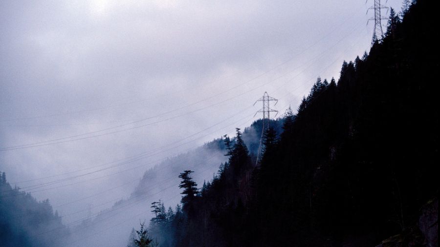
Seattle City Light power lines snake through the clouds on their way to Seattle. (Photo: Tim Matsui, Liaison)
(Photo: Tim Matsui, Liaison)
The weather for the Seahawks victory parade through downtown Seattle Wednesday could not have been more perfect with mid-February sunshine and temperatures peaking around 50 degrees.
Now it is time to get down to serious winter weather, with rain and mountain snow.
RELATED STORIES
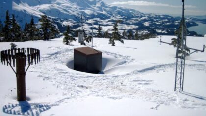

Big change in the weather
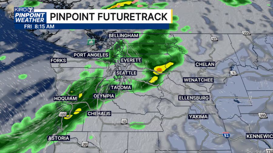
A change in the recent mid-winter mild, dry weather is set to begin Friday. The first in a series of Pacific weather systems is expected to move into the Pacific Northwest, bringing more typical winter weather.
Rain is expected to develop during the day on Friday, with snow in the mountains above about 3,500 feet. Precipitation amounts are forecast to be relatively light, though. Temperatures will be seasonal, with highs around 50 degrees and lows near 40.
Over the weekend, lingering showers are expected to taper off by Saturday night, with some sunshine returning on Sunday after areas of morning fog. Snow levels on Saturday, though, will drop to around 2,000 feet.
More to come
The next weather system is forecast to set up camp off the west coast and spin showers through Western Washington into mid-week. The associated air mass will be cooler, with mountain snow levels hovering around 1,500 feet, so some higher hills could see some snowflakes. High temperatures are expected to be in the 40s with lows in the 30s.
Precipitation amounts Monday through Wednesday are more promising. The Western Washington lowlands are anticipated to rack up between 0.5 and 1.5 inches of rain. In the mountains, one to two inches of precipitation is expected. With snow levels in the neighborhood of 1,500 feet, that can translate to about 10-20 inches of new snow.
Wanted – more mountain snow
Beyond midweek, additional cooler Pacific weather systems are forecast to track onshore, bringing more rain and mountain snow into the following weekend and the next week. The new snow is welcome news, given the current mountain snow deficit.
Early this month, the Northwest Avalanche Center reported snow depths in the Olympics and Cascades were averaging only about 30-50% of normal.
According to the Natural Resources Conservation Service, the amount of water in the snowpack was only about 35-45% of average, with the exception of the North Cascades at around 75% of average.
Mountain snowpack comeback?
Time is limited for a mountain snow comeback. The season’s usual peak of the mountain snowpack is around April 1, leaving just 6 weeks for this Cinderella story miracle.
The expected fresh snow in the coming weeks is great news for ski areas and snow enthusiasts who have had a tough winter season to this point. The question is, can this period of accumulating mountain snow be sustained by April 1 and at least get close to an average season?
The latest extended weather outlook points toward those sustained conditions into March with near or cooler than average temperatures, and the odds of precipitation are tipped toward above average. But will it be enough?
Ted Buehner is the KIRO Newsradio meteorologist. Follow him on X and Bluesky. Read more of his stories here.