Welcome to the warmest, driest time of year in Seattle
Aug 2, 2014, 1:24 PM | Updated: 1:24 pm
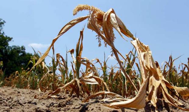
The last 10 days of July and the first 10 days of August are the driest and warmest time of the year in western Washington. (AP photo)
(AP photo)

The last 10 days of July and the first 10 days of August are the driest and warmest time of the year in western Washington.
Going back 121 years, when Seattle weather records began in 1893, the average number of times it has rained on any given day in this 20-day period is 13 times or only 11 percent in those 121 years.
It has rained but nine times in those 121 years on August 4, making it the day with the lowest chance of rain in the entire year. Even the best chance of rain on any day during this stretch is on August 6, when it has rained 19 times – only a 16 percent chance.
Reviewing records at Sea-Tac Airport that started in 1945, July 29 is the driest day of the year, with a total of only 0.31 inches recorded in the 69 years of record.
This time period is also the warmest time of the year. Out of the 187 days with highs of 90 degrees or more at Sea-Tac Airport through 2013, 69 days or 37 percent of those hot high temperatures have occurred in this 20-day period.
The record for number of consecutive days with highs of 90 degrees plus in Seattle is five – from August 7 through the 11 in 1981. The record for consecutive days with highs 80 degrees or more is also mainly in this window of time, 15 days from July 30 to August 13 in 1981. The day with the best chance of a high of degrees plus is July 27, with 29 days out of 69 years or 42 percent.
Regarding the 10 warmest days of the year on average based on average high temperatures, 8 of them are in this 20-day window. The remaining two that are outside of the 20-day period are July 21 and August 12.
Given this is the driest and warmest period, it is no coincidence that Seafair is always on the calendar this time of year.